Roseville night lights from space
Night Light of Roseville (Minnesota) from space (United States) Src. Average luminocity for 10x10km area is 90.8095% and for 50x50km: 63.0465%.
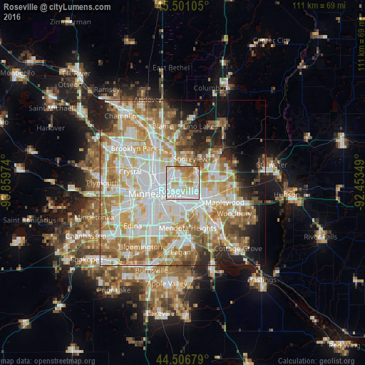
Analysis of Roseville night lights 2016
Square area 10x10 km:
 37.62%
90-99
29.37%80-89
10.63%70-79
11.11%60-69
10%50-59
1.27%40-49
0%30-39
0%20-29
0%10-19
0%0-9
0%Square area 50x50 km:
18.29%90-99
15.37%80-89
7.41%70-79
8.57%60-69
11.81%50-59
6.53%40-49
5.1%30-39
3.1%20-29
5.12%10-19
7.23%0-9
11.46%Clear (daylight) street map image can be seen on geolist.org.
Map coordinates:
45° 30' 3.8" North, 93° 51' 35.1" West
45° 0' 21.9" North, 93° 9' 23.8" West
44° 30' 24.4" North, 92° 27' 12.6" West
Some cities around Roseville sort by population:
• Saint Paul
8.5 km =5.3 mi,  143°
143°
• Shoreview
8.2 km =5.1 mi,  5°
5°
• New Brighton
7.5 km =4.7 mi,  331°
331°
• Vadnais Heights
8.7 km =5.4 mi,  48°
48°
• Little Canada
5.9 km =3.7 mi,  66°
66°
• Arden Hills
4.9 km =3 mi,  0°
0°
• Saint Anthony
5.1 km =3.2 mi,  288°
288°
• Falcon Heights
1.8 km =1.1 mi,  205°
205°
5043799 (p: 35,580)
Sources (retrieved 2019-11-25):
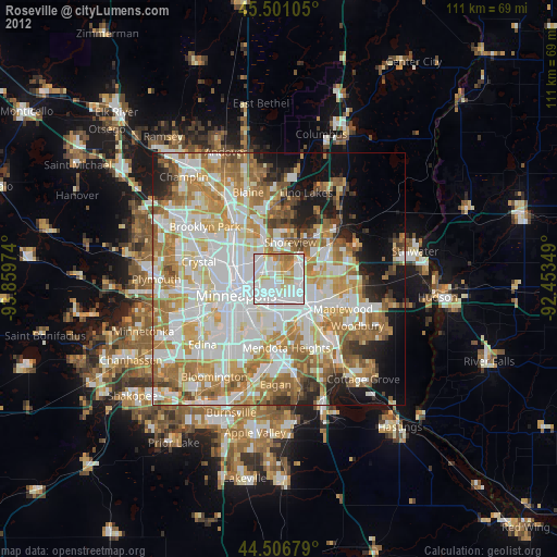
» Earth at Night: Flat Maps 2012, 2016