Milwaukee night lights from space
Night Light of Milwaukee (Wisconsin) from space (United States) Src. Average luminocity for 10x10km area is 77.7857% and for 50x50km: 37.9382%.
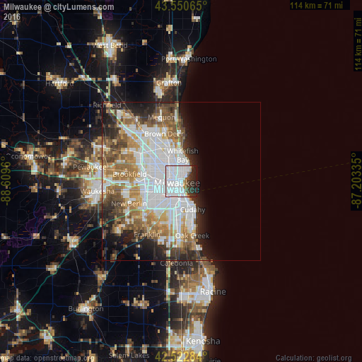
Analysis of Milwaukee night lights 2016
Square area 10x10 km:
 59.68%
90-99
6.35%80-89
0.79%70-79
2.22%60-69
1.75%50-59
2.22%40-49
3.17%30-39
6.83%20-29
10.63%10-19
6.35%0-9
0%Square area 50x50 km:
13.33%90-99
7.09%80-89
3.04%70-79
3.85%60-69
5.31%50-59
5.21%40-49
4.44%30-39
3.59%20-29
6.15%10-19
6.81%0-9
41.18%Clear (daylight) street map image can be seen on geolist.org.
Map coordinates:
43° 33' 2.3" North, 88° 36' 34.6" West
43° 2' 20" North, 87° 54' 23.3" West
42° 31' 22.2" North, 87° 12' 12.1" West
Some cities around Milwaukee sort by population:
• West Allis
8.5 km =5.3 mi,  253°
253°
• Wauwatosa
8.3 km =5.2 mi,  278°
278°
• Greenfield
12.2 km =7.6 mi,  225°
225°
• Cudahy
9.5 km =5.9 mi,  157°
157°
• Whitefish Bay
8.3 km =5.2 mi,  3°
3°
• Shorewood
5.8 km =3.6 mi,  15°
15°
• Glendale
11 km =6.8 mi,  347°
347°
• Saint Francis
8.3 km =5.2 mi, 163°
5263045 (p: 600,155)
Sources (retrieved 2019-11-25):
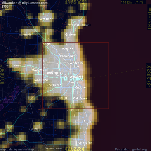
» NASA, Earths city lights 1995
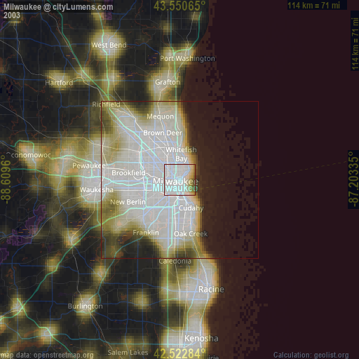
» NASA city lights 2003
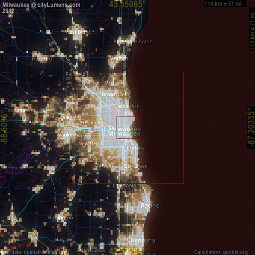
» Earth at Night: Flat Maps 2012, 2016