West Allis night lights from space
Night Light of West Allis (Wisconsin) from space (United States) Src. Average luminocity for 10x10km area is 98.8159% and for 50x50km: 43.1746%.
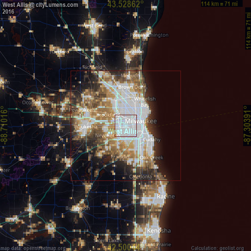
Analysis of West Allis night lights 2016
Square area 10x10 km:
 80.16%
90-99
15.71%80-89
1.75%70-79
2.22%60-69
0.16%50-59
0%40-49
0%30-39
0%20-29
0%10-19
0%0-9
0%Square area 50x50 km:
14.17%90-99
8%80-89
3.73%70-79
4.28%60-69
6%50-59
6.32%40-49
5.31%30-39
4.66%20-29
7.48%10-19
8.43%0-9
31.63%Clear (daylight) street map image can be seen on geolist.org.
Map coordinates:
43° 31' 43" North, 88° 42' 36.6" West
43° 1' 0" North, 88° 0' 25.3" West
42° 30' 1.6" North, 87° 18' 14.1" West
Some cities around West Allis sort by population:
• Milwaukee
8.5 km =5.3 mi,  73°
73°
• Wauwatosa
3.6 km =2.2 mi,  359°
359°
• New Berlin
9.4 km =5.8 mi,  241°
241°
• Brookfield
9.4 km =5.8 mi,  301°
301°
• Greenfield
6.2 km =3.9 mi,  184°
184°
• Greendale
8.5 km =5.3 mi,  173°
173°
• Hales Corners
9.4 km =5.8 mi,  201°
201°
• Elm Grove
6.5 km =4 mi, 296°
5278420 (p: 60,620)
Sources (retrieved 2019-11-25):
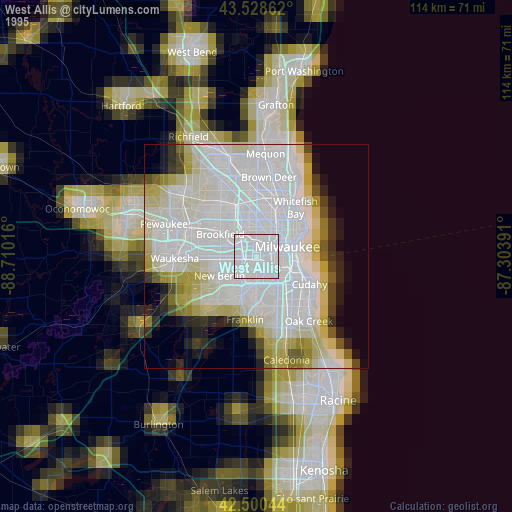
» NASA, Earths city lights 1995
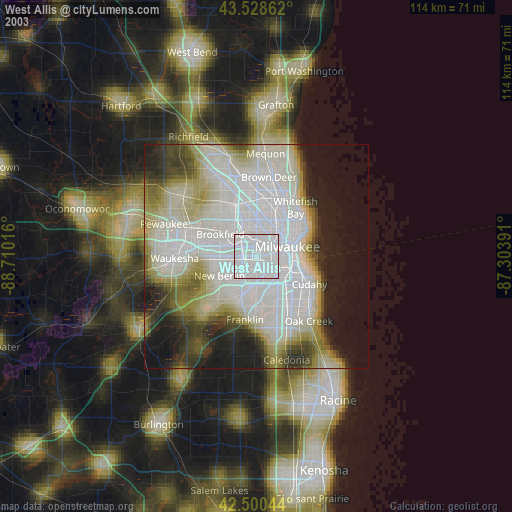
» NASA city lights 2003
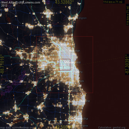
» Earth at Night: Flat Maps 2012, 2016