Greenfield night lights from space
Night Light of Greenfield (Wisconsin) from space (United States) Src. Average luminocity for 10x10km area is 89.3381% and for 50x50km: 43.1949%.
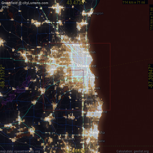
Analysis of Greenfield night lights 2016
Square area 10x10 km:
 41.59%
90-99
20%80-89
10.79%70-79
16.03%60-69
8.89%50-59
2.7%40-49
0%30-39
0%20-29
0%10-19
0%0-9
0%Square area 50x50 km:
14.28%90-99
7.95%80-89
3.61%70-79
4.49%60-69
6.11%50-59
6.08%40-49
4.9%30-39
4.58%20-29
7.5%10-19
8.78%0-9
31.71%Clear (daylight) street map image can be seen on geolist.org.
Map coordinates:
43° 28' 25.7" North, 88° 42' 56.6" West
42° 57' 41" North, 88° 0' 45.3" West
42° 26' 40.9" North, 87° 18' 34.1" West
Some cities around Greenfield sort by population:
• West Allis
6.2 km =3.9 mi,  4°
4°
• Wauwatosa
9.8 km =6.1 mi, 2°
• New Berlin
8 km =5 mi,  282°
282°
• Franklin
8.4 km =5.2 mi,  194°
194°
• Muskego
12 km =7.5 mi,  239°
239°
• Saint Francis
11 km =6.8 mi,  86°
86°
• Hales Corners
4 km =2.5 mi,  227°
227°
• Elm Grove
10.6 km =6.6 mi,  329°
329°
5255068 (p: 37,349)
Sources (retrieved 2019-11-25):
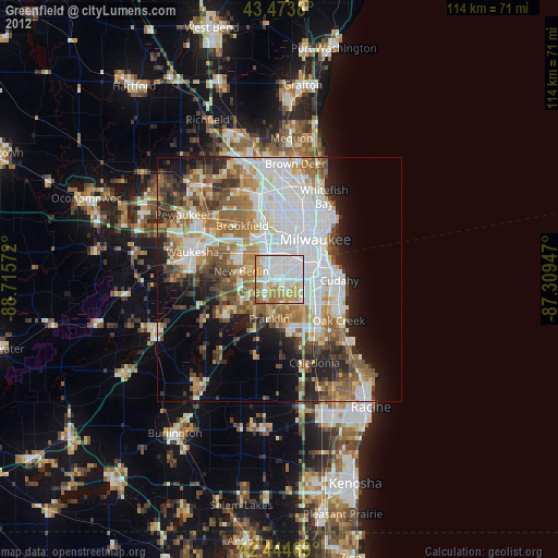
» Earth at Night: Flat Maps 2012, 2016