Wauwatosa night lights from space
Night Light of Wauwatosa (Wisconsin) from space (United States) Src. Average luminocity for 10x10km area is 98.9413% and for 50x50km: 43.1956%.
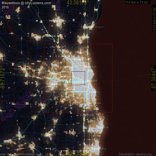
Analysis of Wauwatosa night lights 2016
Square area 10x10 km:
 79.84%
90-99
16.98%80-89
1.75%70-79
1.43%60-69
0%50-59
0%40-49
0%30-39
0%20-29
0%10-19
0%0-9
0%Square area 50x50 km:
14.18%90-99
8.01%80-89
3.76%70-79
4.28%60-69
6.01%50-59
6.06%40-49
5.36%30-39
4.48%20-29
7.64%10-19
9.38%0-9
30.85%Clear (daylight) street map image can be seen on geolist.org.
Map coordinates:
43° 33' 40.1" North, 88° 42' 38.6" West
43° 2' 58.1" North, 88° 0' 27.3" West
42° 32' 0.6" North, 87° 18' 16.1" West
Some cities around Wauwatosa sort by population:
• Milwaukee
8.3 km =5.2 mi,  98°
98°
• West Allis
3.6 km =2.2 mi,  179°
179°
• Brookfield
8.1 km =5 mi,  278°
278°
• Greenfield
9.8 km =6.1 mi, 182°
• Whitefish Bay
11.3 km =7 mi,  50°
50°
• Shorewood
10.7 km =6.6 mi,  65°
65°
• Glendale
11.2 km =7 mi,  31°
31°
• Elm Grove
5.8 km =3.6 mi,  263°
263°
5278159 (p: 47,614)
Sources (retrieved 2019-11-25):
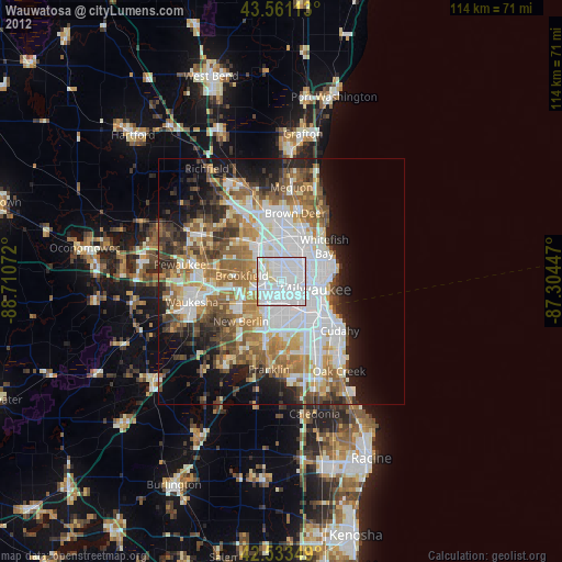
» Earth at Night: Flat Maps 2012, 2016