Milpitas night lights from space
Night Light of Milpitas (California) from space (United States) Src. Average luminocity for 10x10km area is 81.1039% and for 50x50km: 38.0833%.
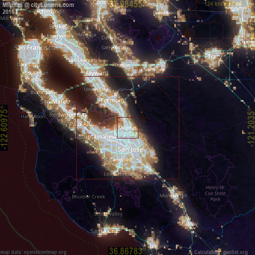
Analysis of Milpitas night lights 2016
Square area 10x10 km:
 34.74%
90-99
22.89%80-89
5.36%70-79
9.74%60-69
8.28%50-59
4.22%40-49
5.19%30-39
2.44%20-29
5.03%10-19
2.11%0-9
0%Square area 50x50 km:
10.45%90-99
9.18%80-89
2.99%70-79
5.35%60-69
5.38%50-59
4.04%40-49
3.2%30-39
3.44%20-29
7.3%10-19
11.23%0-9
37.45%Clear (daylight) street map image can be seen on geolist.org.
Map coordinates:
37° 59' 4.4" North, 122° 36' 35.1" West
37° 25' 41.8" North, 121° 54' 23.8" West
36° 52' 4.2" North, 121° 12' 12.6" West
Some cities around Milpitas sort by population:
• San Jose
9.9 km =6.2 mi,  174°
174°
• Fremont
15.2 km =9.4 mi,  331°
331°
• Sunnyvale
13.2 km =8.2 mi,  240°
240°
• Santa Clara
9.3 km =5.8 mi,  207°
207°
• Cupertino
16.1 km =10 mi,  223°
223°
• Campbell
16.1 km =10 mi,  193°
193°
• Alum Rock
9.9 km =6.2 mi,  134°
134°
• East Foothills
9.5 km =5.9 mi,  123°
123°
5373327 (p: 77,604)
Sources (retrieved 2019-11-25):
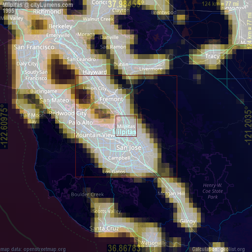
» NASA, Earths city lights 1995
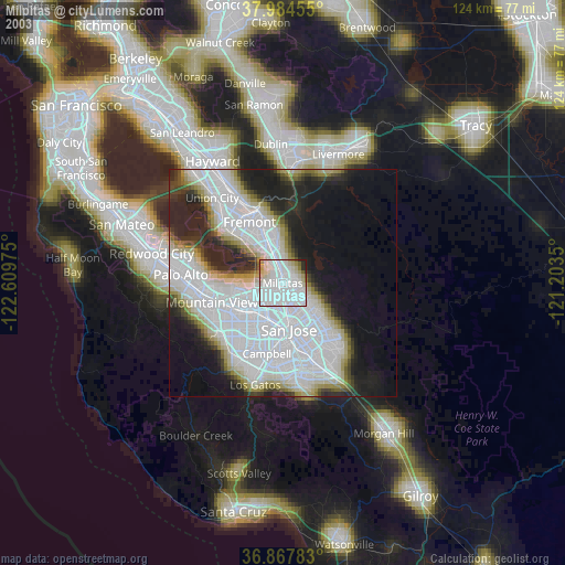
» NASA city lights 2003
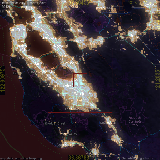
» Earth at Night: Flat Maps 2012, 2016