Harvey night lights from space
Night Light of Harvey (Illinois) from space (United States) Src. Average luminocity for 10x10km area is 98.0617% and for 50x50km: 70.4985%.
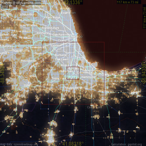
Analysis of Harvey night lights 2016
Square area 10x10 km:
 61.69%
90-99
31.01%80-89
5.84%70-79
1.14%60-69
0.32%50-59
0%40-49
0%30-39
0%20-29
0%10-19
0%0-9
0%Square area 50x50 km:
28.87%90-99
15.99%80-89
8.08%70-79
8.16%60-69
8.29%50-59
5.89%40-49
3.44%30-39
3.55%20-29
3.76%10-19
4.94%0-9
9.04%Clear (daylight) street map image can be seen on geolist.org.
Map coordinates:
42° 8' 1" North, 88° 20' 59.4" West
41° 36' 36.1" North, 87° 38' 48.2" West
41° 4' 55.8" North, 86° 56' 36.9" West
Some cities around Harvey sort by population:
• Blue Island
5.9 km =3.7 mi,  332°
332°
• Dolton
4.6 km =2.9 mi,  45°
45°
• South Holland
3.5 km =2.2 mi,  107°
107°
• Hazel Crest
5.8 km =3.6 mi,  222°
222°
• Riverdale
2.8 km =1.7 mi,  23°
23°
• Markham
4.4 km =2.7 mi,  245°
245°
• Calumet Park
6 km =3.7 mi,  348°
348°
• Posen
3.8 km =2.4 mi,  309°
309°
4895298 (p: 25,194)
Sources (retrieved 2019-11-25):
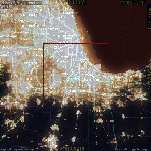
» Earth at Night: Flat Maps 2012, 2016