Golden Glades night lights from space
Night Light of Golden Glades (Florida) from space (United States) Src. Average luminocity for 10x10km area is 98.9242% and for 50x50km: 62.3731%.

Analysis of Golden Glades night lights 2016
Square area 10x10 km:
 85.98%
90-99
10.23%80-89
1.14%70-79
2.46%60-69
0.19%50-59
0%40-49
0%30-39
0%20-29
0%10-19
0%0-9
0%Square area 50x50 km:
35.84%90-99
12.85%80-89
2.83%70-79
3.74%60-69
4.95%50-59
3.23%40-49
3.77%30-39
2.85%20-29
1.98%10-19
3.53%0-9
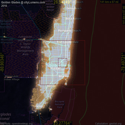
24.43%Clear (daylight) street map image can be seen on geolist.org.
Map coordinates:
26° 32' 33" North, 80° 54' 12.5" West
25° 54' 42.3" North, 80° 12' 1.2" West
25° 16' 39.5" North, 79° 29' 50" West
Some cities around Golden Glades sort by population:
• North Miami
2.8 km =1.7 mi,  150°
150°
• North Miami Beach
4.5 km =2.8 mi,  57°
57°
• Norland
4.3 km =2.7 mi,  343°
343°
• Opa-locka
5.1 km =3.2 mi,  258°
258°
• Pinewood
5 km =3.1 mi,  199°
199°
• Scott Lake
4.6 km =2.9 mi,  316°
316°
• Miami Shores
5.5 km =3.4 mi,  172°
172°
• Westview
5.3 km =3.3 mi,  231°
231°
4156931 (p: 33,145)
Sources (retrieved 2019-11-25):
» Earth at Night: Flat Maps 2012, 2016