West Little River night lights from space
Night Light of West Little River (Florida) from space (United States) Src. Average luminocity for 10x10km area is 99.8788% and for 50x50km: 62.0516%.
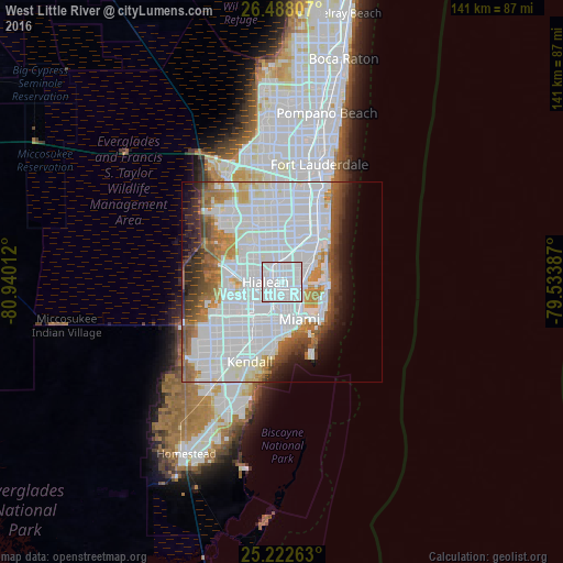
Analysis of West Little River night lights 2016
Square area 10x10 km:
 92.23%
90-99
7.77%80-89
0%70-79
0%60-69
0%50-59
0%40-49
0%30-39
0%20-29
0%10-19
0%0-9
0%Square area 50x50 km:
34.3%90-99
12.39%80-89
2.6%70-79
3.53%60-69
5.59%50-59
3.97%40-49
4.14%30-39
3.94%20-29
3.59%10-19
4.98%0-9
20.98%Clear (daylight) street map image can be seen on geolist.org.
Map coordinates:
26° 29' 17.1" North, 80° 56' 24.4" West
25° 51' 25.3" North, 80° 14' 13.2" West
25° 13' 21.5" North, 79° 32' 1.9" West
Some cities around West Little River sort by population:
• Hialeah
4.1 km =2.5 mi,  270°
270°
• Allapattah
4.9 km =3 mi,  164°
164°
• Opa-locka
5.2 km =3.2 mi,  345°
345°
• Pinewood
2.4 km =1.5 mi,  56°
56°
• Brownsville
3.9 km =2.4 mi,  186°
186°
• Gladeview
2 km =1.2 mi,  175°
175°
• Miami Shores
4.5 km =2.8 mi,  81°
81°
• Westview
2.8 km =1.7 mi, 349°
4177865 (p: 34,699)
Sources (retrieved 2019-11-25):
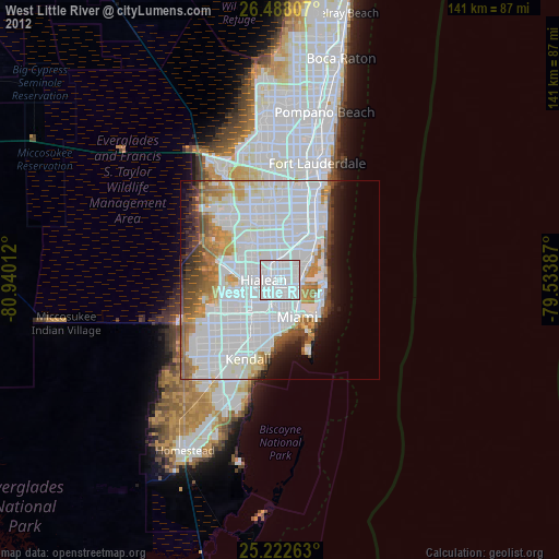
» Earth at Night: Flat Maps 2012, 2016