Mentor night lights from space
Night Light of Mentor (Ohio) from space (United States) Src. Average luminocity for 10x10km area is 70.8279% and for 50x50km: 26.8237%.
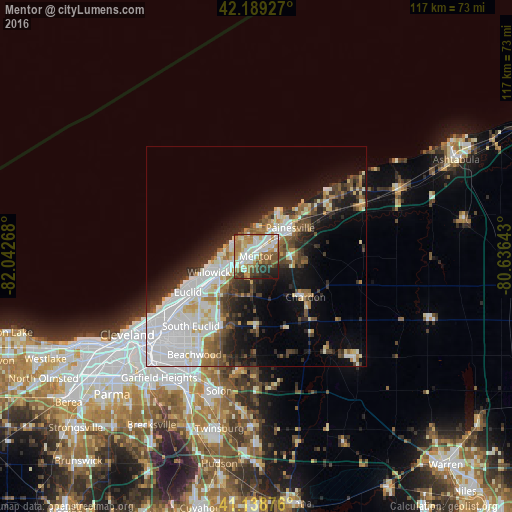
Analysis of Mentor night lights 2016
Square area 10x10 km:
 16.56%
90-99
18.99%80-89
7.31%70-79
11.2%60-69
15.26%50-59
8.28%40-49
5.52%30-39
6.82%20-29
6.49%10-19
3.57%0-9
0%Square area 50x50 km:
8.08%90-99
6.02%80-89
2.3%70-79
1.97%60-69
2.65%50-59
2.76%40-49
3.02%30-39
3.32%20-29
5.98%10-19
10.05%0-9
53.86%Clear (daylight) street map image can be seen on geolist.org.
Map coordinates:
42° 11' 21.4" North, 82° 2' 33.6" West
41° 39' 58.2" North, 81° 20' 22.4" West
41° 8' 19.5" North, 80° 38' 11.1" West
Some cities around Mentor sort by population:
• Willoughby
6.3 km =3.9 mi,  242°
242°
• Painesville
10.1 km =6.3 mi,  50°
50°
• Eastlake
9.3 km =5.8 mi,  261°
261°
• Willowick
11.3 km =7 mi,  251°
251°
• Wickliffe
11.6 km =7.2 mi,  234°
234°
• Willoughby Hills
10 km =6.2 mi,  221°
221°
• Kirtland
4.5 km =2.8 mi,  203°
203°
• Chardon
16.9 km =10.5 mi,  110°
110°
5162645 (p: 46,901)
Sources (retrieved 2019-11-25):
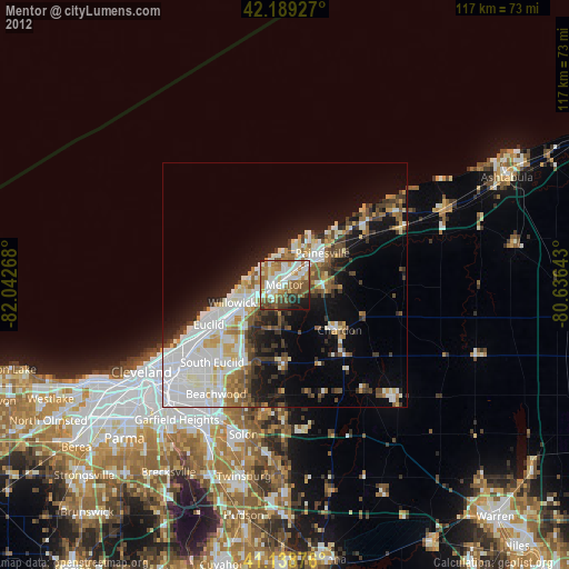
» Earth at Night: Flat Maps 2012, 2016