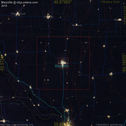
Maryville night lights from space
Night Light of Maryville (Missouri) from space (United States) Src. Average luminocity for 10x10km area is 20.7279% and for 50x50km: 1.2098%.
Analysis of Maryville night lights 2016
Square area 10x10 km:
 3.06%
3.06%90-99
3.06%80-89
2.55%70-79
2.38%60-69
4.42%50-59
0.17%40-49
1.53%30-39
5.78%20-29
2.04%10-19
12.07%0-9
62.93%Square area 50x50 km:
0.12%90-99
0.12%80-89
0.1%70-79
0.12%60-69
0.25%50-59
0.18%40-49
0.22%30-39
0.36%20-29
0.17%10-19
0.47%0-9
97.89%Clear (daylight) street map image can be seen on geolist.org.
Map coordinates:
40° 52' 47.5" North, 95° 34' 32.2" West
40° 20' 46" North, 94° 52' 20.9" West
39° 48' 29.1" North, 94° 10' 9.7" West
Some cities around Maryville sort by population:
• Saint Joseph
64.2 km =39.9 mi,  178°
178°
• Atchison
89.6 km =55.7 mi,  193°
193°
• Cameron
86.2 km =53.6 mi,  141°
141°
• Creston
90.2 km =56 mi,  28°
28°
• Red Oak
79.6 km =49.5 mi,  338°
338°
• Clarinda
46 km =28.6 mi, 342°
• Savannah
45.1 km =28 mi, 175°
• Shenandoah
62.9 km =39.1 mi,  317°
317°
5056172 (p: 11,879)
Sources (retrieved 2019-11-25):
» Earth at Night: Flat Maps 2012, 2016