Red Oak night lights from space
Night Light of Red Oak (Iowa) from space (United States) Src. Average luminocity for 10x10km area is 11.648% and for 50x50km: 0.7833%.
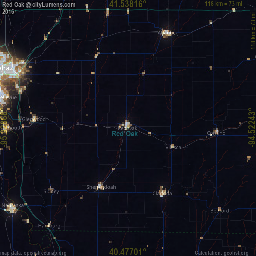
Analysis of Red Oak night lights 2016
Square area 10x10 km:
 1.53%
1.53%90-99
1.53%80-89
2.89%70-79
0.85%60-69
1.02%50-59
1.7%40-49
0.68%30-39
2.38%20-29
1.02%10-19
0.85%0-9
85.54%Square area 50x50 km:
0.06%90-99
0.08%80-89
0.15%70-79
0.13%60-69
0.13%50-59
0.11%40-49
0.05%30-39
0.15%20-29
0.16%10-19
0.03%0-9
98.96%Clear (daylight) street map image can be seen on geolist.org.
Map coordinates:
41° 32' 17.4" North, 95° 55' 43.2" West
41° 0' 35" North, 95° 13' 32" West
40° 28' 37.2" North, 94° 31' 20.7" West
Some cities around Red Oak sort by population:
• Council Bluffs
60.1 km =37.3 mi,  297°
297°
• Bellevue
57.5 km =35.7 mi,  284°
284°
• Nebraska City
64.9 km =40.3 mi,  235°
235°
• Atlantic
47.2 km =29.3 mi,  22°
22°
• Plattsmouth
55.1 km =34.2 mi,  270°
270°
• Clarinda
33.9 km =21.1 mi,  152°
152°
• Glenwood
43.6 km =27.1 mi, 275°
• Shenandoah
29.8 km =18.5 mi,  204°
204°
4872593 (p: 5,472)
Sources (retrieved 2019-11-25):
» Earth at Night: Flat Maps 2012, 2016