Creston night lights from space
Night Light of Creston (Iowa) from space (United States) Src. Average luminocity for 10x10km area is 14.0666% and for 50x50km: 0.839%.
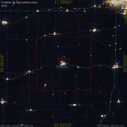
Analysis of Creston night lights 2016
Square area 10x10 km:
 1.79%
1.79%90-99
1.14%80-89
2.44%70-79
2.27%60-69
2.11%50-59
2.44%40-49
1.46%30-39
0.97%20-29
1.62%10-19
1.95%0-9
81.82%Square area 50x50 km:
0.07%90-99
0.05%80-89
0.1%70-79
0.19%60-69
0.12%50-59
0.13%40-49
0.23%30-39
0.07%20-29
0.12%10-19
0.13%0-9
98.8%Clear (daylight) street map image can be seen on geolist.org.
Map coordinates:
41° 35' 11.9" North, 95° 3' 52.1" West
41° 3' 31" North, 94° 21' 40.9" West
40° 31' 34.6" North, 93° 39' 29.6" West
Some cities around Creston sort by population:
• West Des Moines
79.2 km =49.2 mi,  43°
43°
• Waukee
73.2 km =45.5 mi,  32°
32°
• Indianola
75 km =46.6 mi,  63°
63°
• Norwalk
73.5 km =45.7 mi,  50°
50°
• Atlantic
66.7 km =41.4 mi,  305°
305°
• Red Oak
72.7 km =45.2 mi,  265°
265°
• Clarinda
67 km =41.6 mi,  238°
238°
• Winterset
42 km =26.1 mi, 43°
4853078 (p: 7,854)
Sources (retrieved 2019-11-25):
» Earth at Night: Flat Maps 2012, 2016