Marion night lights from space
Night Light of Marion (Iowa) from space (United States) Src. Average luminocity for 10x10km area is 57.4635% and for 50x50km: 10.8126%.
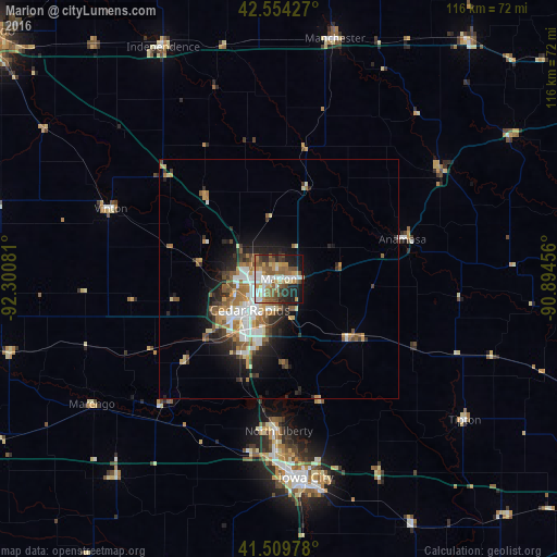
Analysis of Marion night lights 2016
Square area 10x10 km:
 12.06%
90-99
10.63%80-89
3.81%70-79
11.75%60-69
8.89%50-59
13.81%40-49
7.94%30-39
4.6%20-29
10.48%10-19
14.44%0-9
1.59%Square area 50x50 km:
1.97%90-99
1.75%80-89
0.96%70-79
1.41%60-69
1.83%50-59
2.05%40-49
1.14%30-39
1.35%20-29
2.67%10-19
4.89%0-9
79.98%Clear (daylight) street map image can be seen on geolist.org.
Map coordinates:
42° 33' 15.4" North, 92° 18' 2.9" West
42° 2' 3" North, 91° 35' 51.6" West
41° 30' 35.2" North, 90° 53' 40.4" West
Some cities around Marion sort by population:
• Cedar Rapids
4.8 km =3 mi,  233°
233°
• Iowa City
41.9 km =26 mi,  172°
172°
• Coralville
39.8 km =24.7 mi,  177°
177°
• North Liberty
31.7 km =19.7 mi, 180°
• Hiawatha
7 km =4.3 mi,  271°
271°
• Anamosa
27.1 km =16.8 mi,  72°
72°
• Vinton
38.2 km =23.7 mi,  293°
293°
• Manchester
51.4 km =31.9 mi,  13°
13°
4866263 (p: 37,330)
Sources (retrieved 2019-11-25):
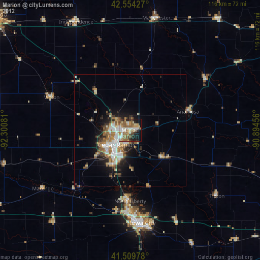
» Earth at Night: Flat Maps 2012, 2016