Anamosa night lights from space
Night Light of Anamosa (Iowa) from space (United States) Src. Average luminocity for 10x10km area is 6.9106% and for 50x50km: 2.6453%.
Analysis of Anamosa night lights 2016
Square area 10x10 km:
 0.91%
0.91%90-99
1.52%80-89
0%70-79
1.21%60-69
0.3%50-59
1.06%40-49
1.06%30-39
0.91%20-29
2.73%10-19
0.61%0-9
89.7%Square area 50x50 km:
0.17%90-99
0.18%80-89
0.37%70-79
0.59%60-69
0.33%50-59
0.37%40-49
0.53%30-39
0.34%20-29
0.86%10-19
1.41%0-9
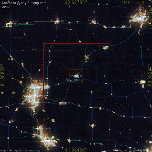
94.85%Clear (daylight) street map image can be seen on geolist.org.
Map coordinates:
42° 37' 40.2" North, 91° 59' 17.8" West
42° 6' 30" North, 91° 17' 6.6" West
41° 35' 4.4" North, 90° 34' 55.3" West
Some cities around Anamosa sort by population:
• Cedar Rapids
31.6 km =19.6 mi,  249°
249°
• Iowa City
53.7 km =33.4 mi,  202°
202°
• Marion
27.1 km =16.8 mi, 252°
• Coralville
53.9 km =33.5 mi,  206°
206°
• North Liberty
47.6 km =29.6 mi, 212°
• Hiawatha
33.7 km =20.9 mi,  256°
256°
• Maquoketa
51.3 km =31.9 mi,  94°
94°
• Manchester
44.1 km =27.4 mi,  341°
341°
4846880 (p: 5,469)
Sources (retrieved 2019-11-25):
» Earth at Night: Flat Maps 2012, 2016