Cedar Rapids night lights from space
Night Light of Cedar Rapids (Iowa) from space (United States) Src. Average luminocity for 10x10km area is 78.6127% and for 50x50km: 11.027%.
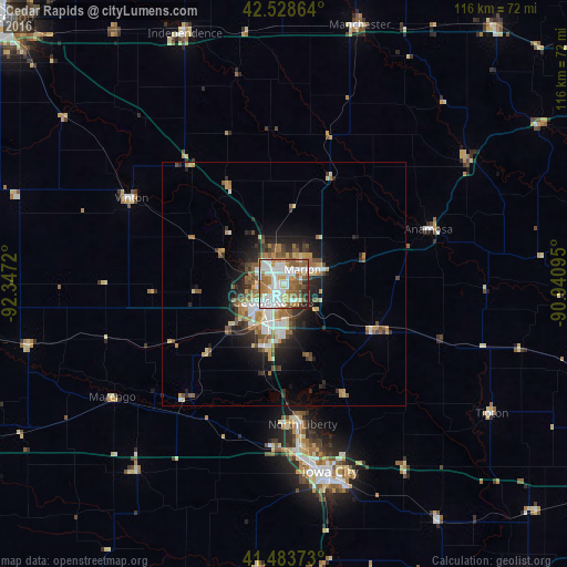
Analysis of Cedar Rapids night lights 2016
Square area 10x10 km:
 26.35%
90-99
22.06%80-89
4.6%70-79
8.25%60-69
15.71%50-59
13.49%40-49
2.54%30-39
3.65%20-29
3.02%10-19
0.32%0-9
0%Square area 50x50 km:
1.98%90-99
1.75%80-89
0.98%70-79
1.45%60-69
1.87%50-59
2.1%40-49
1.19%30-39
1.38%20-29
2.7%10-19
5%0-9
79.6%Clear (daylight) street map image can be seen on geolist.org.
Map coordinates:
42° 31' 43.1" North, 92° 20' 49.9" West
42° 0' 30" North, 91° 38' 38.7" West
41° 29' 1.4" North, 90° 56' 27.4" West
Some cities around Cedar Rapids sort by population:
• Iowa City
39.7 km =24.7 mi,  166°
166°
• Marion
4.8 km =3 mi,  53°
53°
• Coralville
37.3 km =23.2 mi, 171°
• North Liberty
29.1 km =18.1 mi, 172°
• Hiawatha
4.4 km =2.7 mi,  314°
314°
• Independence
55 km =34.2 mi,  338°
338°
• Anamosa
31.6 km =19.6 mi,  69°
69°
• Vinton
36 km =22.4 mi,  299°
299°
4850751 (p: 130,405)
Sources (retrieved 2019-11-25):
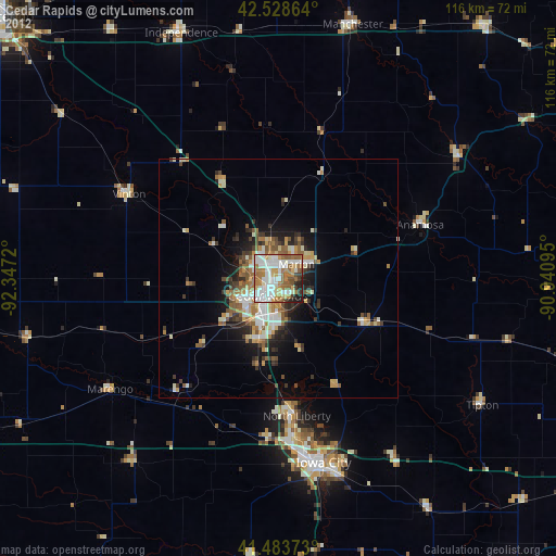
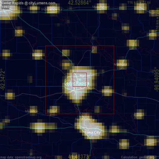
» NASA, Earths city lights 1995
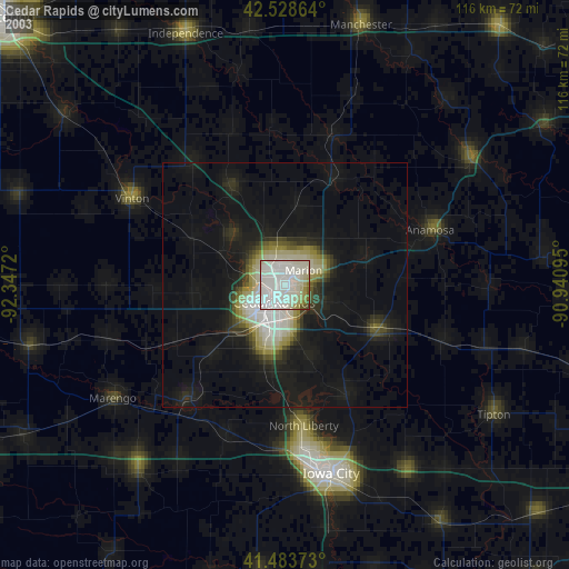
» NASA city lights 2003
» Earth at Night: Flat Maps 2012, 2016