Mansfield night lights from space
Night Light of Mansfield (Massachusetts) from space (United States) Src. Average luminocity for 10x10km area is 49.546% and for 50x50km: 50.1301%.
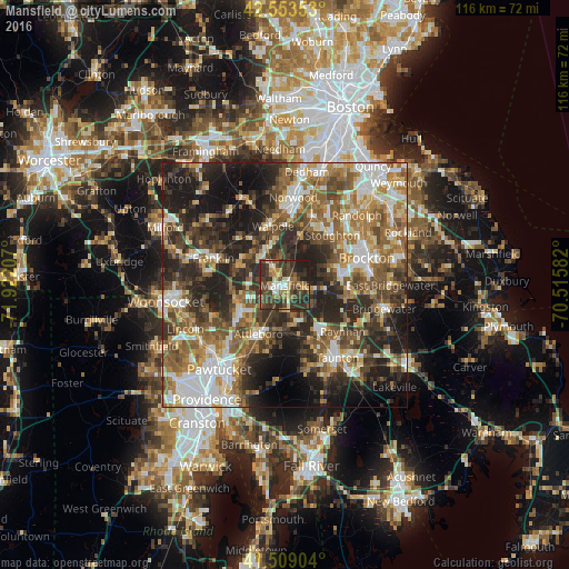
Analysis of Mansfield night lights 2016
Square area 10x10 km:
 4.6%
4.6%90-99
6.35%80-89
5.24%70-79
6.51%60-69
6.67%50-59
7.46%40-49
21.9%30-39
21.75%20-29
13.81%10-19
5.71%0-9
0%Square area 50x50 km:
8.06%90-99
9.01%80-89
5.43%70-79
5.81%60-69
8.64%50-59
10.05%40-49
9.48%30-39
9.6%20-29
15.34%10-19
13.13%0-9
5.44%Clear (daylight) street map image can be seen on geolist.org.
Map coordinates:
42° 33' 12.7" North, 71° 55' 19.5" West
42° 2' 0.3" North, 71° 13' 8.2" West
41° 30' 32.5" North, 70° 30' 57" West
Some cities around Mansfield sort by population:
• Attleboro
11.3 km =7 mi,  209°
209°
• Easton
7.5 km =4.7 mi,  97°
97°
• Norton
7.9 km =4.9 mi,  160°
160°
• North Attleborough Center
11.1 km =6.9 mi,  232°
232°
• Wrentham
9.7 km =6 mi,  292°
292°
• Plainville
10 km =6.2 mi,  250°
250°
• Sharon
10.6 km =6.6 mi,  18°
18°
• Foxborough
4.3 km =2.7 mi,  326°
326°
4943021 (p: 23,380)
Sources (retrieved 2019-11-25):
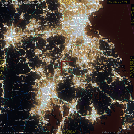
» Earth at Night: Flat Maps 2012, 2016