Sharon night lights from space
Night Light of Sharon (Massachusetts) from space (United States) Src. Average luminocity for 10x10km area is 44.7864% and for 50x50km: 53.2441%.
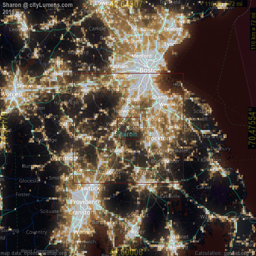
Analysis of Sharon night lights 2016
Square area 10x10 km:
 2.42%
2.42%90-99
3.48%80-89
5.45%70-79
3.79%60-69
6.82%50-59
11.67%40-49
18.18%30-39
13.03%20-29
27.58%10-19
7.58%0-9
0%Square area 50x50 km:
8.71%90-99
9.48%80-89
6.39%70-79
6.22%60-69
9.18%50-59
11.14%40-49
10.45%30-39
9.72%20-29
15.07%10-19
10.91%0-9
2.74%Clear (daylight) street map image can be seen on geolist.org.
Map coordinates:
42° 38' 35.1" North, 71° 52' 54.4" West
42° 7' 25.4" North, 71° 10' 43.2" West
41° 36' 0.2" North, 70° 28' 31.9" West
Some cities around Sharon sort by population:
• Norwood
8.1 km =5 mi,  347°
347°
• Stoughton
6.3 km =3.9 mi,  88°
88°
• Mansfield
10.6 km =6.6 mi,  198°
198°
• Canton
4.8 km =3 mi,  35°
35°
• Westwood
10.7 km =6.6 mi,  339°
339°
• Mansfield Center
11.7 km =7.3 mi, 196°
• Walpole
6.2 km =3.9 mi,  288°
288°
• Foxborough
8.6 km =5.3 mi,  221°
221°
4950654 (p: 5,658)
Sources (retrieved 2019-11-25):
» Earth at Night: Flat Maps 2012, 2016