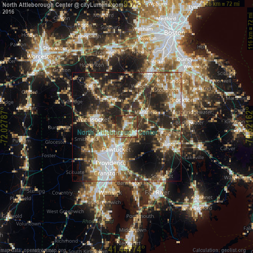
North Attleborough Center night lights from space
Night Light of North Attleborough Center (Massachusetts) from space (United States) Src. Average luminocity for 10x10km area is 59.4063% and for 50x50km: 45.6815%.
Analysis of North Attleborough Center night lights 2016
Square area 10x10 km:
 7.94%
7.94%90-99
9.37%80-89
6.03%70-79
6.83%60-69
11.11%50-59
21.27%40-49
17.78%30-39
8.41%20-29
10.32%10-19
0.95%0-9
0%Square area 50x50 km:
7.48%90-99
7.58%80-89
4.79%70-79
5.04%60-69
7.22%50-59
9.12%40-49
8.75%30-39
9.6%20-29
14.8%10-19
14.81%0-9
10.81%Clear (daylight) street map image can be seen on geolist.org.
Map coordinates:
42° 29' 35.6" North, 72° 1' 40.3" West
41° 58' 21.5" North, 71° 19' 29.1" West
41° 26' 51.9" North, 70° 37' 17.8" West
Some cities around North Attleborough Center sort by population:
• Attleboro
4.5 km =2.8 mi,  133°
133°
• Cumberland
9 km =5.6 mi,  265°
265°
• Lincoln
10.8 km =6.7 mi,  237°
237°
• Central Falls
10.7 km =6.6 mi,  211°
211°
• Valley Falls
9.1 km =5.7 mi,  216°
216°
• Wrentham
10.5 km =6.5 mi,  358°
358°
• Plainville
3.6 km =2.2 mi,  349°
349°
• Mansfield Center
10.4 km =6.5 mi,  57°
57°
7257726 (p: 16,796)
Sources (retrieved 2019-11-25):
» Earth at Night: Flat Maps 2012, 2016