Easton night lights from space
Night Light of Easton (Massachusetts) from space (United States) Src. Average luminocity for 10x10km area is 37.6762% and for 50x50km: 45.7868%.
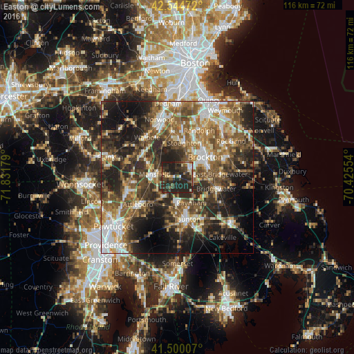
Analysis of Easton night lights 2016
Square area 10x10 km:
 2.54%
2.54%90-99
3.33%80-89
3.65%70-79
3.65%60-69
3.49%50-59
4.92%40-49
10%30-39
17.14%20-29
37.94%10-19
13.33%0-9
0%Square area 50x50 km:
6.72%90-99
7.81%80-89
4.85%70-79
5.08%60-69
8.09%50-59
9.8%40-49
9.31%30-39
8.87%20-29
14.25%10-19
14.09%0-9
11.12%Clear (daylight) street map image can be seen on geolist.org.
Map coordinates:
42° 32' 41" North, 71° 49' 54.4" West
42° 1' 28.3" North, 71° 7' 43.2" West
41° 30' 0.3" North, 70° 25' 31.9" West
Some cities around Easton sort by population:
• Brockton
11.2 km =7 mi,  54°
54°
• Stoughton
11.4 km =7.1 mi,  11°
11°
• Mansfield
7.5 km =4.7 mi,  277°
277°
• Norton
8 km =5 mi,  216°
216°
• Raynham
9.6 km =6 mi,  151°
151°
• Mansfield Center
7.4 km =4.6 mi,  268°
268°
• West Bridgewater
10 km =6.2 mi,  93°
93°
• Foxborough
10.8 km =6.7 mi,  294°
294°
4935623 (p: 23,459)
Sources (retrieved 2019-11-25):
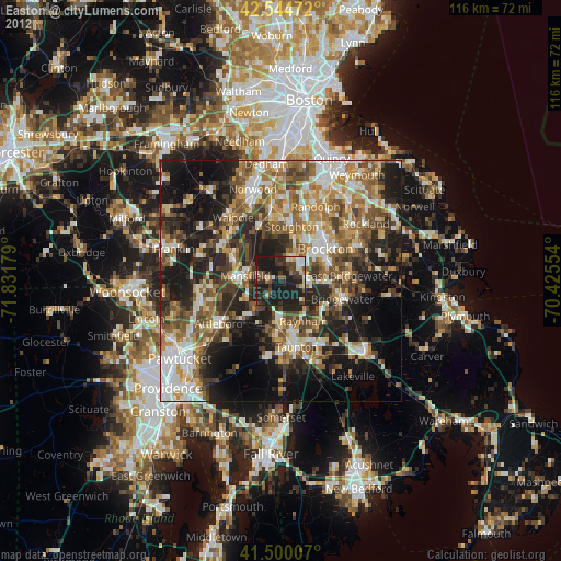
» Earth at Night: Flat Maps 2012, 2016