Lennox night lights from space
Night Light of Lennox (California) from space (United States) Src. Average luminocity for 10x10km area is 99.8287% and for 50x50km: 68.3467%.
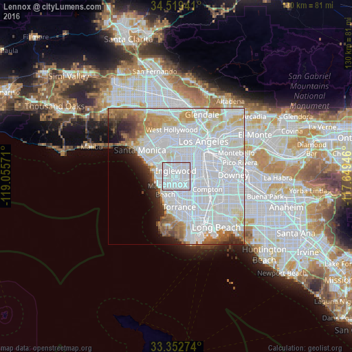

Analysis of Lennox night lights 2016
Square area 10x10 km:
 88.46%
90-99
11.54%80-89
0%70-79
0%60-69
0%50-59
0%40-49
0%30-39
0%20-29
0%10-19
0%0-9
0%Square area 50x50 km:
40.11%90-99
15.13%80-89
3.92%70-79
3.86%60-69
4.06%50-59
2.91%40-49
2.11%30-39
2.01%20-29
3.01%10-19
3.45%0-9
19.43%Clear (daylight) street map image can be seen on geolist.org.
Map coordinates:
34° 31' 9.9" North, 119° 3' 20.6" West
33° 56' 17.1" North, 118° 21' 9.3" West
33° 21' 9.9" North, 117° 38' 58.1" West
Some cities around Lennox sort by population:
• Inglewood
2.6 km =1.6 mi,  358°
358°
• Hawthorne
2.4 km =1.5 mi,  179°
179°
• Lawndale
5.7 km =3.5 mi, 179°
• Westmont
4.7 km =2.9 mi,  85°
85°
• El Segundo
6.3 km =3.9 mi,  250°
250°
• Del Aire
2.9 km =1.8 mi,  212°
212°
• West Athens
4.8 km =3 mi,  109°
109°
• Alondra Park
5.8 km =3.6 mi,  159°
159°
5365937 (p: 22,753)
Sources (retrieved 2019-11-25):
» Earth at Night: Flat Maps 2012, 2016