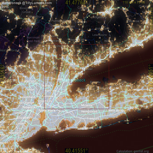
Mamaroneck night lights from space
Night Light of Mamaroneck (New York) from space (United States) Src. Average luminocity for 10x10km area is 65.0952% and for 50x50km: 65.0466%.
Analysis of Mamaroneck night lights 2016
Square area 10x10 km:
 9.52%
9.52%90-99
16.5%80-89
7.99%70-79
15.14%60-69
18.71%50-59
4.59%40-49
3.4%30-39
4.42%20-29
11.05%10-19
8.67%0-9
0%Square area 50x50 km:
21.27%90-99
13.73%80-89
6.48%70-79
8.61%60-69
10.69%50-59
8.38%40-49
5.67%30-39
5.2%20-29
6.59%10-19
6.37%0-9
7.02%Clear (daylight) street map image can be seen on geolist.org.
Map coordinates:
41° 28' 39.5" North, 74° 26' 8.7" West
40° 56' 55.4" North, 73° 43' 57.5" West
40° 24' 55.8" North, 73° 1' 46.2" West
Some cities around Mamaroneck sort by population:
• New Rochelle
5.9 km =3.7 mi,  225°
225°
• Harrison
2.8 km =1.7 mi,  36°
36°
• Eastchester
6.5 km =4 mi,  279°
279°
• Scarsdale
7.6 km =4.7 mi,  325°
325°
• Rye
5.4 km =3.4 mi,  49°
49°
• Wykagyl
5.6 km =3.5 mi,  261°
261°
• Pelham
7.7 km =4.8 mi,  235°
235°
• Larchmont
2.8 km =1.7 mi,  214°
214°
5125738 (p: 19,375)
Sources (retrieved 2019-11-25):
» Earth at Night: Flat Maps 2012, 2016