Lumberton night lights from space
Night Light of Lumberton (North Carolina) from space (United States) Src. Average luminocity for 10x10km area is 69.2098% and for 50x50km: 16.5068%.
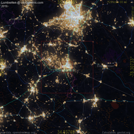
Analysis of Lumberton night lights 2016
Square area 10x10 km:
 14.86%
90-99
13.11%80-89
10.31%70-79
16.96%60-69
9.62%50-59
8.57%40-49
11.19%30-39
6.82%20-29
7.69%10-19
0.87%0-9
0%Square area 50x50 km:
0.93%90-99
0.84%80-89
1.94%70-79
2.85%60-69
2.74%50-59
2.64%40-49
3.92%30-39
4.94%20-29
5.6%10-19
12.3%0-9
61.29%Clear (daylight) street map image can be seen on geolist.org.
Map coordinates:
35° 11' 41.9" North, 79° 42' 48.9" West
34° 37' 6" North, 79° 0' 37.6" West
34° 2' 15.7" North, 78° 18' 26.4" West
Some cities around Lumberton sort by population:
• Fayetteville
49.8 km =30.9 mi,  14°
14°
• Fort Bragg
57.9 km =36 mi,  0°
0°
• Hope Mills
39.6 km =24.6 mi, 8°
• Laurinburg
44.8 km =27.8 mi,  292°
292°
• Spring Lake
61.2 km =38 mi, 3°
• Marion
60.6 km =37.7 mi,  216°
216°
• Dillon
39.9 km =24.8 mi,  235°
235°
• Whiteville
42 km =26.1 mi,  137°
137°
4477525 (p: 21,667)
Sources (retrieved 2019-11-25):
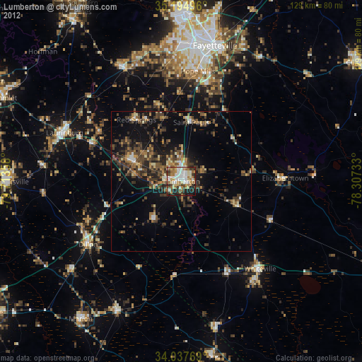
» Earth at Night: Flat Maps 2012, 2016