Fayetteville night lights from space
Night Light of Fayetteville (North Carolina) from space (United States) Src. Average luminocity for 10x10km area is 87.0804% and for 50x50km: 32.1621%.
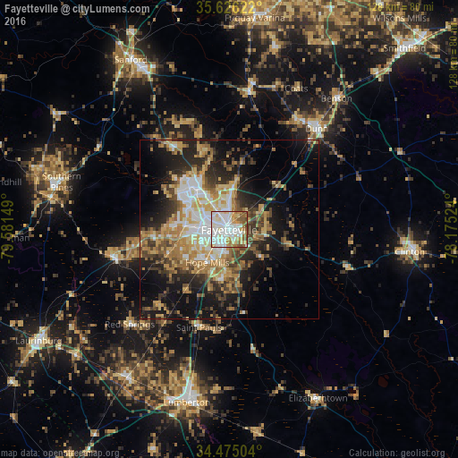
Analysis of Fayetteville night lights 2016
Square area 10x10 km:
 28.15%
90-99
31.64%80-89
12.94%70-79
8.74%60-69
8.04%50-59
8.04%40-49
2.45%30-39
0%20-29
0%10-19
0%0-9
0%Square area 50x50 km:
4.69%90-99
4.88%80-89
5.35%70-79
4.65%60-69
6.38%50-59
3.58%40-49
4.57%30-39
5.61%20-29
7.63%10-19
13.89%0-9
38.77%Clear (daylight) street map image can be seen on geolist.org.
Map coordinates:
35° 37' 34.4" North, 79° 34' 53.4" West
35° 3' 9.6" North, 78° 52' 42.1" West
34° 28' 30.1" North, 78° 10' 30.9" West
Some cities around Fayetteville sort by population:
• Fort Bragg
15.1 km =9.4 mi,  309°
309°
• Lumberton
49.8 km =30.9 mi,  194°
194°
• Hope Mills
11 km =6.8 mi,  213°
213°
• Southern Pines
48.7 km =30.3 mi,  286°
286°
• Spring Lake
15.4 km =9.6 mi,  326°
326°
• Dunn
37.3 km =23.2 mi,  40°
40°
• Clinton
50.9 km =31.6 mi,  96°
96°
• Aberdeen
50.9 km =31.6 mi,  279°
279°
4466033 (p: 201,963)
Sources (retrieved 2019-11-25):
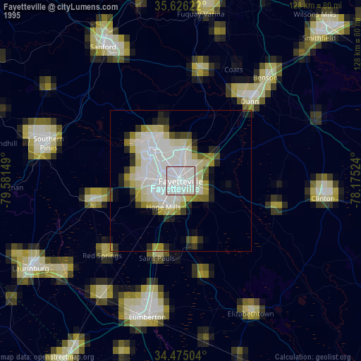
» NASA, Earths city lights 1995
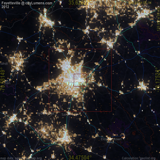
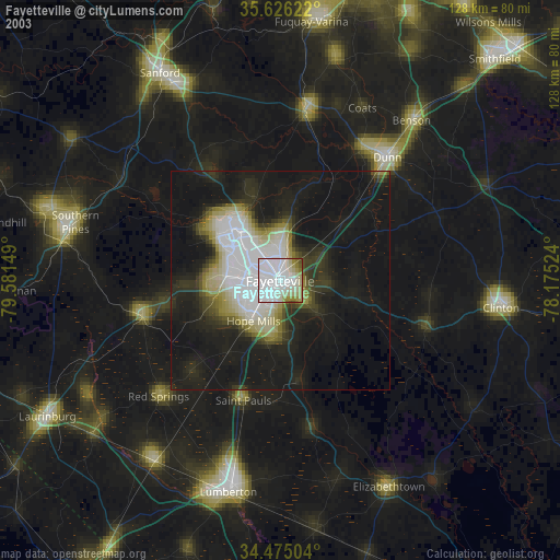
» NASA city lights 2003
» Earth at Night: Flat Maps 2012, 2016