Fort Bragg night lights from space
Night Light of Fort Bragg (North Carolina) from space (United States) Src. Average luminocity for 10x10km area is 83.0699% and for 50x50km: 32.6867%.
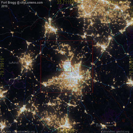
Analysis of Fort Bragg night lights 2016
Square area 10x10 km:
 29.55%
90-99
25.87%80-89
15.21%70-79
4.37%60-69
6.29%50-59
4.72%40-49
7.52%30-39
5.59%20-29
0.87%10-19
0%0-9
0%Square area 50x50 km:
4.75%90-99
4.98%80-89
5.7%70-79
5.04%60-69
6.29%50-59
3.78%40-49
4.34%30-39
5.36%20-29
7.97%10-19
12.58%0-9
39.23%Clear (daylight) street map image can be seen on geolist.org.
Map coordinates:
35° 42' 43" North, 79° 42' 33" West
35° 8' 20.4" North, 79° 0' 21.7" West
34° 33' 43.2" North, 78° 18' 10.5" West
Some cities around Fort Bragg sort by population:
• Fayetteville
15.1 km =9.4 mi,  129°
129°
• Sanford
41.1 km =25.5 mi,  337°
337°
• Hope Mills
19.5 km =12.1 mi,  163°
163°
• Pinehurst
42.6 km =26.5 mi,  278°
278°
• Southern Pines
35.3 km =21.9 mi, 276°
• Spring Lake
4.4 km =2.7 mi,  43°
43°
• Dunn
40.6 km =25.2 mi,  62°
62°
• Aberdeen
38.5 km =23.9 mi,  268°
268°
6941080 (p: 29,183)
Sources (retrieved 2019-11-25):
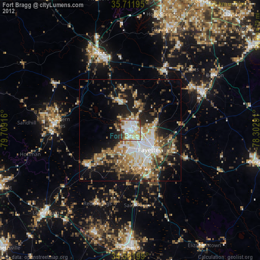
» Earth at Night: Flat Maps 2012, 2016