Ludington night lights from space
Night Light of Ludington (Michigan) from space (United States) Src. Average luminocity for 10x10km area is 15.7032% and for 50x50km: 0.9639%.
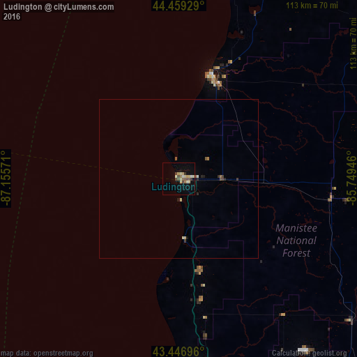
Analysis of Ludington night lights 2016
Square area 10x10 km:
 0.95%
0.95%90-99
2.54%80-89
4.6%70-79
0.79%60-69
1.43%50-59
2.22%40-49
3.33%30-39
1.27%20-29
0%10-19
7.3%0-9
75.56%Square area 50x50 km:
0.06%90-99
0.12%80-89
0.24%70-79
0.03%60-69
0.12%50-59
0.15%40-49
0.17%30-39
0.15%20-29
0.12%10-19
0.34%0-9
98.49%Clear (daylight) street map image can be seen on geolist.org.
Map coordinates:
44° 27' 33.4" North, 87° 9' 20.6" West
43° 57' 19" North, 86° 27' 9.3" West
43° 26' 49.1" North, 85° 44' 58.1" West
Some cities around Ludington sort by population:
• Muskegon
81.8 km =50.8 mi,  168°
168°
• Manitowoc
97.5 km =60.6 mi,  278°
278°
• Norton Shores
88.7 km =55.1 mi, 170°
• Two Rivers
91.9 km =57.1 mi, 283°
• Muskegon Heights
85.6 km =53.2 mi, 168°
• Big Rapids
82.8 km =51.4 mi,  110°
110°
• Cadillac
90.2 km =56 mi,  68°
68°
• Manistee
33.7 km =20.9 mi,  17°
17°
5000306 (p: 8,058)
Sources (retrieved 2019-11-25):
» Earth at Night: Flat Maps 2012, 2016