Cadillac night lights from space
Night Light of Cadillac (Michigan) from space (United States) Src. Average luminocity for 10x10km area is 21.1773% and for 50x50km: 1.3598%.
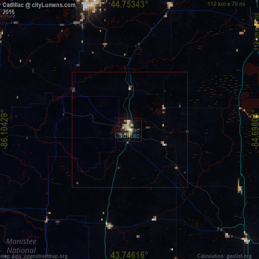
Analysis of Cadillac night lights 2016
Square area 10x10 km:
 1.97%
1.97%90-99
2.58%80-89
3.48%70-79
1.06%60-69
4.85%50-59
2.73%40-49
3.48%30-39
3.94%20-29
3.18%10-19
16.06%0-9
56.67%Square area 50x50 km:
0.09%90-99
0.12%80-89
0.22%70-79
0.11%60-69
0.22%50-59
0.23%40-49
0.28%30-39
0.28%20-29
0.32%10-19
0.71%0-9
97.41%Clear (daylight) street map image can be seen on geolist.org.
Map coordinates:
44° 45' 12.3" North, 86° 6' 15.4" West
44° 15' 7" North, 85° 24' 4.2" West
43° 44' 46.2" North, 84° 41' 52.9" West
Some cities around Cadillac sort by population:
• Midland
116.4 km =72.3 mi,  127°
127°
• Mount Pleasant
88.7 km =55.1 mi,  145°
145°
• Traverse City
59.4 km =36.9 mi,  342°
342°
• Big Rapids
61.9 km =38.5 mi,  186°
186°
• Alma
113.8 km =70.7 mi, 148°
• Ludington
90.2 km =56 mi,  248°
248°
• Saint Louis
113.4 km =70.5 mi, 145°
• Manistee
73.5 km =45.7 mi,  269°
269°
4987617 (p: 10,373)
Sources (retrieved 2019-11-25):
» Earth at Night: Flat Maps 2012, 2016