Big Rapids night lights from space
Night Light of Big Rapids (Michigan) from space (United States) Src. Average luminocity for 10x10km area is 18.0894% and for 50x50km: 1.3521%.
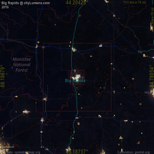
Analysis of Big Rapids night lights 2016
Square area 10x10 km:
 2.27%
2.27%90-99
3.48%80-89
2.73%70-79
2.27%60-69
3.18%50-59
1.21%40-49
0.91%30-39
1.21%20-29
0.61%10-19
13.03%0-9
69.09%Square area 50x50 km:
0.12%90-99
0.23%80-89
0.17%70-79
0.17%60-69
0.22%50-59
0.14%40-49
0.2%30-39
0.21%20-29
0.23%10-19
0.56%0-9
97.75%Clear (daylight) street map image can be seen on geolist.org.
Map coordinates:
44° 12' 15.4" North, 86° 11' 12.4" West
43° 41' 53.1" North, 85° 29' 1.2" West
43° 11' 15.3" North, 84° 46' 49.9" West
Some cities around Big Rapids sort by population:
• Mount Pleasant
58.7 km =36.5 mi,  100°
100°
• Northview
73.2 km =45.5 mi,  187°
187°
• Cadillac
61.9 km =38.5 mi,  6°
6°
• Comstock Park
74.9 km =46.5 mi, 191°
• Alma
75.3 km =46.8 mi,  118°
118°
• Greenville
60.8 km =37.8 mi,  162°
162°
• Rockford
64.6 km =40.1 mi, 185°
• Belding
69.8 km =43.4 mi, 162°
4986020 (p: 10,397)
Sources (retrieved 2019-11-25):
» Earth at Night: Flat Maps 2012, 2016