Manistee night lights from space
Night Light of Manistee (Michigan) from space (United States) Src. Average luminocity for 10x10km area is 17.3758% and for 50x50km: 0.8488%.
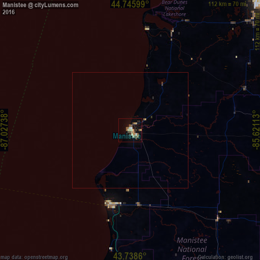
Analysis of Manistee night lights 2016
Square area 10x10 km:
 1.06%
1.06%90-99
1.97%80-89
3.33%70-79
1.52%60-69
3.18%50-59
3.48%40-49
3.18%30-39
1.67%20-29
2.42%10-19
10.15%0-9
68.03%Square area 50x50 km:
0.04%90-99
0.08%80-89
0.14%70-79
0.08%60-69
0.13%50-59
0.17%40-49
0.13%30-39
0.14%20-29
0.15%10-19
0.43%0-9
98.51%Clear (daylight) street map image can be seen on geolist.org.
Map coordinates:
44° 44' 45.6" North, 87° 1' 38.6" West
44° 14' 40" North, 86° 19' 27.3" West
43° 44' 19" North, 85° 37' 16.1" West
Some cities around Manistee sort by population:
• Muskegon
112.5 km =69.9 mi,  176°
176°
• Manitowoc
107.7 km =66.9 mi,  260°
260°
• Traverse City
80.2 km =49.8 mi,  44°
44°
• Two Rivers
99.8 km =62 mi, 264°
• Big Rapids
90.6 km =56.3 mi,  132°
132°
• Cadillac
73.5 km =45.7 mi,  89°
89°
• Sturgeon Bay
106.1 km =65.9 mi,  308°
308°
• Ludington
33.7 km =20.9 mi,  197°
197°
5000611 (p: 6,084)
Sources (retrieved 2019-11-25):
» Earth at Night: Flat Maps 2012, 2016