Los Gatos night lights from space
Night Light of Los Gatos (California) from space (United States) Src. Average luminocity for 10x10km area is 40.148% and for 50x50km: 27.9041%.
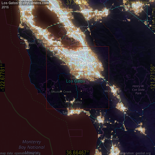
Analysis of Los Gatos night lights 2016
Square area 10x10 km:
 3.57%
3.57%90-99
8.16%80-89
2.89%70-79
5.44%60-69
9.01%50-59
9.35%40-49
9.69%30-39
1.53%20-29
9.01%10-19
23.13%0-9
18.2%Square area 50x50 km:
8.05%90-99
6.78%80-89
2.08%70-79
4.06%60-69
3.93%50-59
3.14%40-49
2.06%30-39
2.33%20-29
3.27%10-19
7.64%0-9
56.66%Clear (daylight) street map image can be seen on geolist.org.
Map coordinates:
37° 47' 3.8" North, 122° 40' 40.1" West
37° 13' 35.8" North, 121° 58' 28.8" West
36° 39' 52.8" North, 121° 16' 17.6" West
Some cities around Los Gatos sort by population:
• San Jose
14.4 km =8.9 mi,  29°
29°
• Sunnyvale
16.7 km =10.4 mi,  340°
340°
• Santa Clara
14.3 km =8.9 mi,  6°
6°
• Cupertino
11.9 km =7.4 mi,  334°
334°
• Campbell
7.1 km =4.4 mi,  17°
17°
• Saratoga
6 km =3.7 mi,  314°
314°
• Scotts Valley
19.8 km =12.3 mi,  190°
190°
• Ben Lomond
18.2 km =11.3 mi,  212°
212°
5368518 (p: 30,705)
Sources (retrieved 2019-11-25):
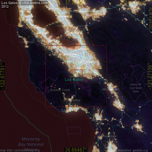
» Earth at Night: Flat Maps 2012, 2016