Long Beach night lights from space
Night Light of Long Beach (New York) from space (United States) Src. Average luminocity for 10x10km area is 52.0893% and for 50x50km: 45.4932%.
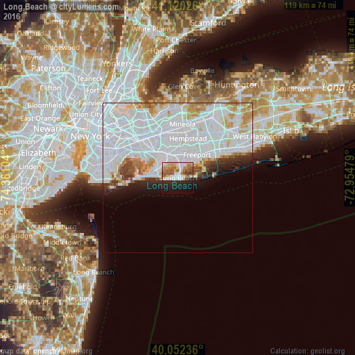
Analysis of Long Beach night lights 2016
Square area 10x10 km:
 10.88%
90-99
13.64%80-89
4.71%70-79
7.14%60-69
6.17%50-59
9.74%40-49
3.08%30-39
2.27%20-29
15.75%10-19
19.16%0-9
7.47%Square area 50x50 km:
25.93%90-99
10.34%80-89
2.84%70-79
2.99%60-69
2.15%50-59
1.47%40-49
1.32%30-39
1.62%20-29
2.78%10-19
3.91%0-9
44.64%Clear (daylight) street map image can be seen on geolist.org.
Map coordinates:
41° 7' 12.9" North, 74° 21' 39.7" West
40° 35' 18.4" North, 73° 39' 28.5" West
40° 3' 8.5" North, 72° 57' 17.2" West
Some cities around Long Beach sort by population:
• Oceanside
5.8 km =3.6 mi,  15°
15°
• Lynbrook
7.5 km =4.7 mi,  350°
350°
• Woodmere
6.7 km =4.2 mi,  316°
316°
• East Rockaway
6 km =3.7 mi, 350°
• Baldwin Harbor
7.1 km =4.4 mi,  36°
36°
• Hewlett
6.9 km =4.3 mi,  332°
332°
• Cedarhurst
6.8 km =4.2 mi,  304°
304°
• Lawrence
6.8 km =4.2 mi, 296°
5125086 (p: 33,550)
Sources (retrieved 2019-11-25):
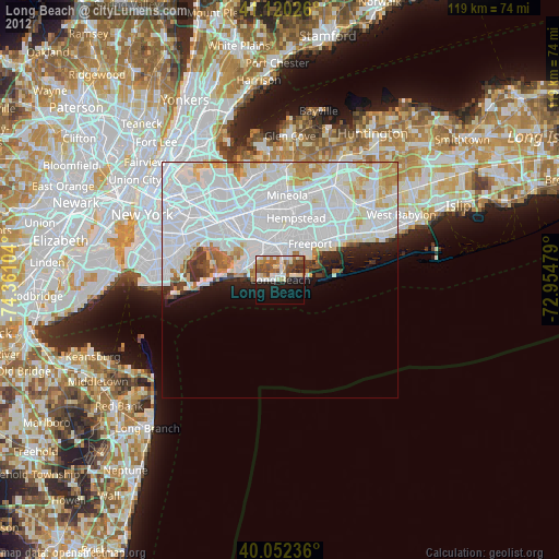
» Earth at Night: Flat Maps 2012, 2016