Lynbrook night lights from space
Night Light of Lynbrook (New York) from space (United States) Src. Average luminocity for 10x10km area is 95.5146% and for 50x50km: 56.4838%.
Analysis of Lynbrook night lights 2016
Square area 10x10 km:
 68.83%
90-99
17.21%80-89
2.92%70-79
4.38%60-69
3.57%50-59
3.08%40-49
0%30-39
0%20-29
0%10-19
0%0-9
0%Square area 50x50 km:
30.01%90-99
11.91%80-89
3.7%70-79
4.34%60-69
4.39%50-59
3.57%40-49
2.62%30-39
2.53%20-29
3.57%10-19
3.93%0-9
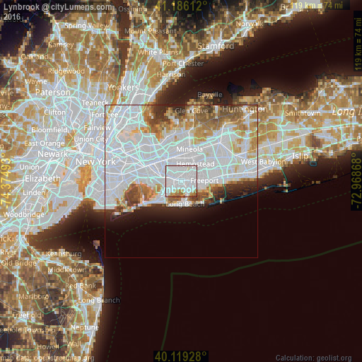
29.42%Clear (daylight) street map image can be seen on geolist.org.
Map coordinates:
41° 11' 10" North, 74° 22' 29.7" West
40° 39' 17.4" North, 73° 40' 18.5" West
40° 7' 9.4" North, 72° 58' 7.2" West
Some cities around Lynbrook sort by population:
• Valley Stream
3.3 km =2.1 mi,  288°
288°
• Oceanside
3.2 km =2 mi,  123°
123°
• Rockville Centre
2.6 km =1.6 mi,  80°
80°
• East Rockaway
1.4 km =0.9 mi,  172°
172°
• Malverne
2.7 km =1.7 mi,  356°
356°
• Hewlett
2.4 km =1.5 mi,  237°
237°
• South Valley Stream
3.9 km =2.4 mi,  271°
271°
• Lakeview
3.8 km =2.4 mi,  25°
25°
5125523 (p: 19,558)
Sources (retrieved 2019-11-25):
» Earth at Night: Flat Maps 2012, 2016