Hewlett night lights from space
Night Light of Hewlett (New York) from space (United States) Src. Average luminocity for 10x10km area is 93.5666% and for 50x50km: 55.9493%.
Analysis of Hewlett night lights 2016
Square area 10x10 km:
 62.66%
90-99
17.86%80-89
4.87%70-79
4.55%60-69
2.92%50-59
6.82%40-49
0.32%30-39
0%20-29
0%10-19
0%0-9
0%Square area 50x50 km:
31.36%90-99
11.75%80-89
3.36%70-79
3.59%60-69
3.79%50-59
3.25%40-49
2.36%30-39
2.23%20-29
3.08%10-19
3.93%0-9
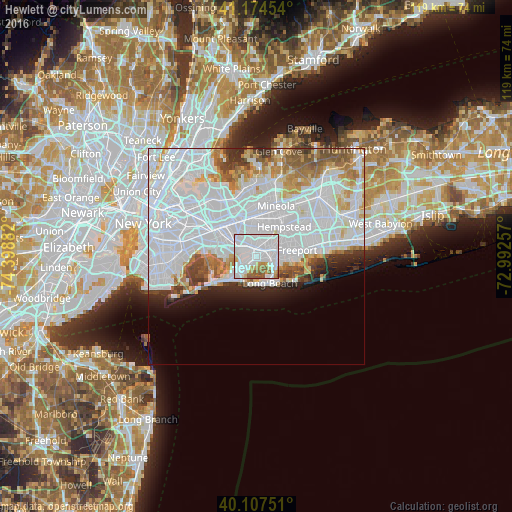
31.31%Clear (daylight) street map image can be seen on geolist.org.
Map coordinates:
41° 10' 28.3" North, 74° 23' 55.8" West
40° 38' 35.4" North, 73° 41' 44.5" West
40° 6' 27" North, 72° 59' 33.3" West
Some cities around Hewlett sort by population:
• Valley Stream
2.6 km =1.6 mi,  335°
335°
• Rosedale
4 km =2.5 mi,  302°
302°
• Lynbrook
2.4 km =1.5 mi,  57°
57°
• Woodmere
1.9 km =1.2 mi,  229°
229°
• East Rockaway
2.2 km =1.4 mi,  93°
93°
• Cedarhurst
3.3 km =2.1 mi, 226°
• Lawrence
4.2 km =2.6 mi,  223°
223°
• South Valley Stream
2.3 km =1.4 mi,  307°
307°
5120598 (p: 6,819)
Sources (retrieved 2019-11-25):
» Earth at Night: Flat Maps 2012, 2016