Baldwin Harbor night lights from space
Night Light of Baldwin Harbor (New York) from space (United States) Src. Average luminocity for 10x10km area is 85.8393% and for 50x50km: 51.1922%.
Analysis of Baldwin Harbor night lights 2016
Square area 10x10 km:
 49.51%
90-99
15.91%80-89
6.01%70-79
5.36%60-69
5.19%50-59
6.66%40-49
7.63%30-39
3.41%20-29
0.32%10-19
0%0-9
0%Square area 50x50 km:
24.67%90-99
11.73%80-89
3.95%70-79
4.81%60-69
4.96%50-59
3.21%40-49
2.14%30-39
2.09%20-29
3.15%10-19
3.85%0-9
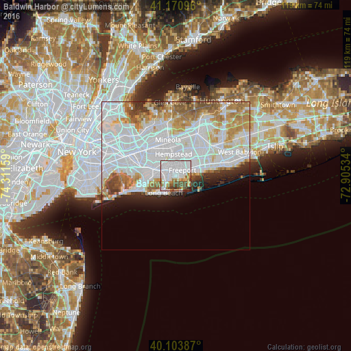
35.43%Clear (daylight) street map image can be seen on geolist.org.
Map coordinates:
41° 10' 15.5" North, 74° 18' 41.7" West
40° 38' 22.4" North, 73° 36' 30.5" West
40° 6' 13.9" North, 72° 54' 19.2" West
Some cities around Baldwin Harbor sort by population:
• Freeport
2.9 km =1.8 mi,  46°
46°
• Oceanside
2.7 km =1.7 mi,  267°
267°
• Rockville Centre
3.5 km =2.2 mi,  307°
307°
• Merrick
5.5 km =3.4 mi,  61°
61°
• Lynbrook
5.6 km =3.5 mi,  287°
287°
• Roosevelt
4.7 km =2.9 mi,  20°
20°
• East Rockaway
5.2 km =3.2 mi, 273°
• Lakeview
6.3 km =3.9 mi,  323°
323°
5107771 (p: 8,102)
Sources (retrieved 2019-11-25):
» Earth at Night: Flat Maps 2012, 2016