East Rockaway night lights from space
Night Light of East Rockaway (New York) from space (United States) Src. Average luminocity for 10x10km area is 90.388% and for 50x50km: 54.582%.
Analysis of East Rockaway night lights 2016
Square area 10x10 km:
 61.85%
90-99
12.5%80-89
3.25%70-79
5.68%60-69
5.36%50-59
8.12%40-49
1.62%30-39
1.62%20-29
0%10-19
0%0-9
0%Square area 50x50 km:
29.24%90-99
11.63%80-89
3.62%70-79
4.11%60-69
4.25%50-59
3.29%40-49
2.3%30-39
2.26%20-29
3.08%10-19
3.88%0-9
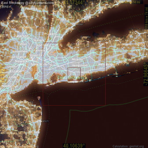
32.34%Clear (daylight) street map image can be seen on geolist.org.
Map coordinates:
41° 10' 24.4" North, 74° 22' 21.7" West
40° 38' 31.4" North, 73° 40' 10.5" West
40° 6' 23" North, 72° 57' 59.2" West
Some cities around East Rockaway sort by population:
• Valley Stream
4.1 km =2.5 mi,  306°
306°
• Oceanside
2.5 km =1.6 mi,  98°
98°
• Rockville Centre
3 km =1.9 mi,  52°
52°
• Lynbrook
1.4 km =0.9 mi,  352°
352°
• Woodmere
3.8 km =2.4 mi,  252°
252°
• Malverne
4.1 km =2.5 mi, 354°
• Hewlett
2.2 km =1.4 mi,  273°
273°
• South Valley Stream
4.3 km =2.7 mi,  290°
290°
5116049 (p: 9,894)
Sources (retrieved 2019-11-25):
» Earth at Night: Flat Maps 2012, 2016