Oceanside night lights from space
Night Light of Oceanside (New York) from space (United States) Src. Average luminocity for 10x10km area is 87.8961% and for 50x50km: 52.6021%.
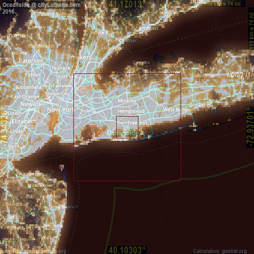
Analysis of Oceanside night lights 2016
Square area 10x10 km:
 55.68%
90-99
13.47%80-89
4.22%70-79
5.36%60-69
5.68%50-59
9.42%40-49
4.22%30-39
1.95%20-29
0%10-19
0%0-9
0%Square area 50x50 km:
26.71%90-99
11.78%80-89
3.73%70-79
4.45%60-69
4.56%50-59
3.27%40-49
2.18%30-39
2.13%20-29
2.99%10-19
3.89%0-9
34.32%Clear (daylight) street map image can be seen on geolist.org.
Map coordinates:
41° 10' 12.5" North, 74° 20' 35.7" West
40° 38' 19.4" North, 73° 38' 24.5" West
40° 6' 10.9" North, 72° 56' 13.2" West
Some cities around Oceanside sort by population:
• Freeport
5.2 km =3.2 mi,  66°
66°
• Rockville Centre
2.2 km =1.4 mi,  357°
357°
• Baldwin
3.3 km =2.1 mi,  52°
52°
• Lynbrook
3.2 km =2 mi,  303°
303°
• East Rockaway
2.5 km =1.6 mi,  278°
278°
• Malverne
5.3 km =3.3 mi,  327°
327°
• Baldwin Harbor
2.7 km =1.7 mi,  87°
87°
• Hewlett
4.7 km =2.9 mi, 276°
5129603 (p: 32,109)
Sources (retrieved 2019-11-25):
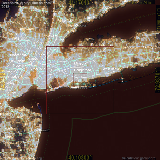
» Earth at Night: Flat Maps 2012, 2016