Lakewood night lights from space
Night Light of Lakewood (California) from space (United States) Src. Average luminocity for 10x10km area is 98.257% and for 50x50km: 82.3746%.
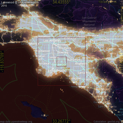
Analysis of Lakewood night lights 2016
Square area 10x10 km:
 62.06%
90-99
30.77%80-89
7.17%70-79
0%60-69
0%50-59
0%40-49
0%30-39
0%20-29
0%10-19
0%0-9
0%Square area 50x50 km:
49.25%90-99
21%80-89
4.47%70-79
4.88%60-69
3.49%50-59
1.82%40-49
1.24%30-39
0.93%20-29
2.06%10-19
2.92%0-9
7.94%Clear (daylight) street map image can be seen on geolist.org.
Map coordinates:
34° 26' 8" North, 118° 50' 13.5" West
33° 51' 13.1" North, 118° 8' 2.3" West
33° 16' 3.8" North, 117° 25' 51" West
Some cities around Lakewood sort by population:
• Norwalk
7.2 km =4.5 mi,  41°
41°
• Bellflower
3.5 km =2.2 mi,  26°
26°
• Paramount
4.6 km =2.9 mi,  329°
329°
• Cerritos
6.4 km =4 mi,  85°
85°
• Artesia
4.9 km =3 mi,  73°
73°
• East Rancho Dominguez
7.5 km =4.7 mi,  311°
311°
• Hawaiian Gardens
6.2 km =3.9 mi,  113°
113°
• Signal Hill
6.3 km =3.9 mi,  209°
209°
5364855 (p: 81,611)
Sources (retrieved 2019-11-25):
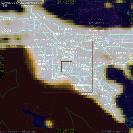
» NASA, Earths city lights 1995
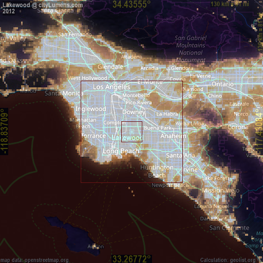
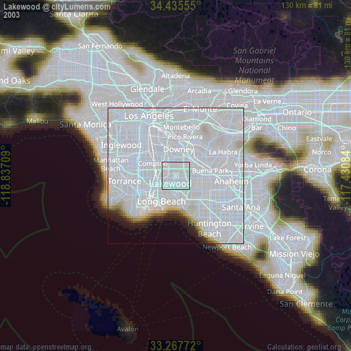
» NASA city lights 2003
» Earth at Night: Flat Maps 2012, 2016