Lone Grove night lights from space
Night Light of Lone Grove (Oklahoma) from space (United States) Src. Average luminocity for 10x10km area is 12.707% and for 50x50km: 5.1969%.
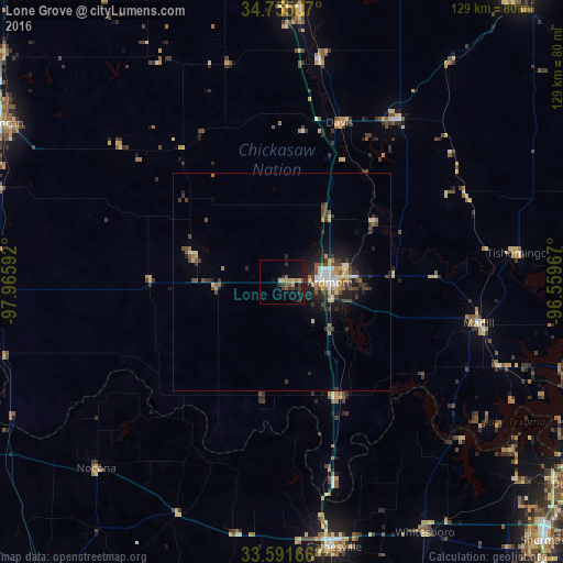
Analysis of Lone Grove night lights 2016
Square area 10x10 km:
 0%
0%90-99
0%80-89
2.2%70-79
2.75%60-69
0.92%50-59
3.3%40-49
0.55%30-39
5.13%20-29
3.48%10-19
10.99%0-9
70.7%Square area 50x50 km:
0.53%90-99
0.42%80-89
0.7%70-79
0.69%60-69
0.49%50-59
0.78%40-49
1.17%30-39
1.14%20-29
1.58%10-19
3.41%0-9
89.07%Clear (daylight) street map image can be seen on geolist.org.
Map coordinates:
34° 45' 18.3" North, 97° 57' 57.3" West
34° 10' 31.3" North, 97° 15' 46" West
33° 35' 30" North, 96° 33' 34.8" West
Some cities around Lone Grove sort by population:
• Sherman
85.1 km =52.9 mi,  134°
134°
• Ardmore
11 km =6.8 mi,  90°
90°
• Duncan
73.4 km =45.6 mi,  299°
299°
• Denison
81.6 km =50.7 mi,  124°
124°
• Durant
84.6 km =52.6 mi,  103°
103°
• Gainesville
62.2 km =38.6 mi,  168°
168°
• Pauls Valley
62.9 km =39.1 mi,  3°
3°
• Sulphur
45.8 km =28.5 mi,  36°
36°
4541625 (p: 5,213)
Sources (retrieved 2019-11-25):
» Earth at Night: Flat Maps 2012, 2016