Ardmore night lights from space
Night Light of Ardmore (Oklahoma) from space (United States) Src. Average luminocity for 10x10km area is 58.0824% and for 50x50km: 4.7194%.
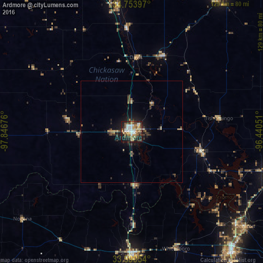
Analysis of Ardmore night lights 2016
Square area 10x10 km:
 12.45%
90-99
8.97%80-89
9.89%70-79
10.81%60-69
5.68%50-59
7.88%40-49
12.82%30-39
4.03%20-29
15.93%10-19
11.54%0-9
0%Square area 50x50 km:
0.52%90-99
0.38%80-89
0.69%70-79
0.69%60-69
0.4%50-59
0.6%40-49
1%30-39
1.03%20-29
1.52%10-19
3.4%0-9
89.78%Clear (daylight) street map image can be seen on geolist.org.
Map coordinates:
34° 45' 14.3" North, 97° 50' 48.3" West
34° 10' 27.3" North, 97° 8' 37.1" West
33° 35' 25.9" North, 96° 26' 25.8" West
Some cities around Ardmore sort by population:
• Sherman
77.6 km =48.2 mi,  140°
140°
• Denison
72.8 km =45.2 mi,  129°
129°
• Ada
79.2 km =49.2 mi,  32°
32°
• Durant
73.9 km =45.9 mi,  105°
105°
• Gainesville
61 km =37.9 mi,  179°
179°
• Pauls Valley
63.3 km =39.3 mi,  353°
353°
• Lone Grove
11 km =6.8 mi,  270°
270°
• Sulphur
40.4 km =25.1 mi,  23°
23°
4529469 (p: 25,176)
Sources (retrieved 2019-11-25):
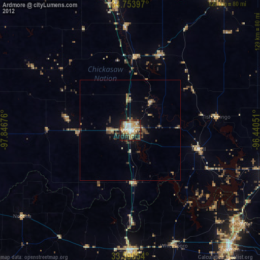
» Earth at Night: Flat Maps 2012, 2016