Denison night lights from space
Night Light of Denison (Texas) from space (United States) Src. Average luminocity for 10x10km area is 41.2949% and for 50x50km: 10.2241%.
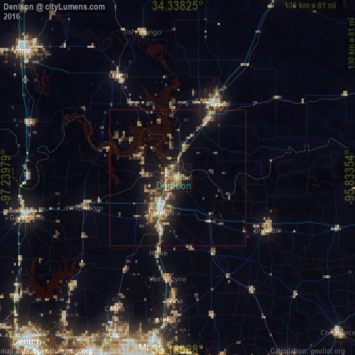
Analysis of Denison night lights 2016
Square area 10x10 km:
 1.83%
1.83%90-99
1.65%80-89
11.9%70-79
4.76%60-69
10.26%50-59
12.45%40-49
7.69%30-39
5.86%20-29
7.51%10-19
20.7%0-9
15.38%Square area 50x50 km:
0.59%90-99
0.57%80-89
1.48%70-79
1.39%60-69
1.71%50-59
1.86%40-49
1.81%30-39
2.77%20-29
2.78%10-19
7.64%0-9
77.38%Clear (daylight) street map image can be seen on geolist.org.
Map coordinates:
34° 20' 17.7" North, 97° 14' 23.2" West
33° 45' 20.4" North, 96° 32' 12" West
33° 10' 8.7" North, 95° 50' 0.7" West
Some cities around Denison sort by population:
• McKinney
62.5 km =38.8 mi,  186°
186°
• Sherman
14.9 km =9.3 mi,  206°
206°
• Durant
30.6 km =19 mi,  30°
30°
• Gainesville
57.1 km =35.5 mi,  255°
255°
• Anna
45.2 km =28.1 mi,  181°
181°
• Bonham
38.6 km =24 mi,  120°
120°
• Celina
53.2 km =33.1 mi, 205°
• Melissa
52.3 km =32.5 mi, 183°
4685892 (p: 23,150)
Sources (retrieved 2019-11-25):
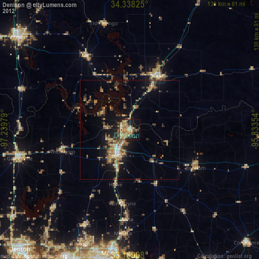
» Earth at Night: Flat Maps 2012, 2016