Columbine night lights from space
Night Light of Columbine (Colorado) from space (United States) Src. Average luminocity for 10x10km area is 72.276% and for 50x50km: 45.9943%.
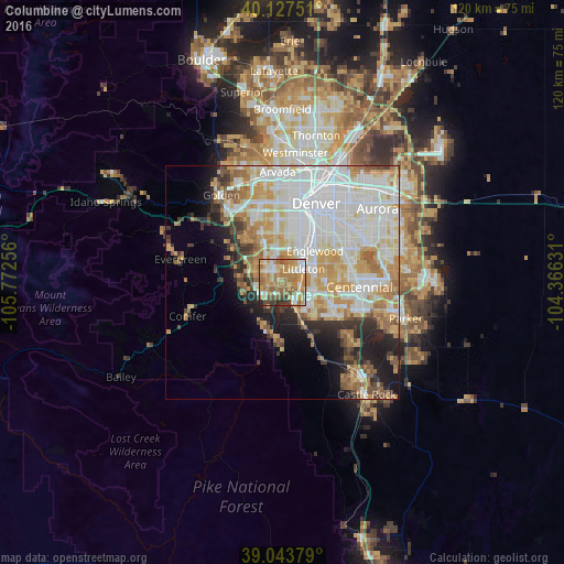
Analysis of Columbine night lights 2016
Square area 10x10 km:
 9.74%
9.74%90-99
11.53%80-89
13.8%70-79
17.53%60-69
27.92%50-59
8.28%40-49
3.41%30-39
5.19%20-29
2.6%10-19
0%0-9
0%Square area 50x50 km:
14.87%90-99
10.97%80-89
5.53%70-79
7.48%60-69
5.54%50-59
3.56%40-49
2.45%30-39
3.32%20-29
4.22%10-19
6.75%0-9
35.3%Clear (daylight) street map image can be seen on geolist.org.
Map coordinates:
40° 7' 39" North, 105° 46' 21.2" West
39° 35' 16" North, 105° 4' 9.9" West
39° 2' 37.6" North, 104° 21' 58.7" West
Some cities around Columbine sort by population:
• Highlands Ranch
9.4 km =5.8 mi,  113°
113°
• Littleton
5.3 km =3.3 mi,  57°
57°
• Southglenn
10 km =6.2 mi,  90°
90°
• Englewood
9.7 km =6 mi,  46°
46°
• Ken Caryl
3.9 km =2.4 mi,  250°
250°
• Greenwood Village
10.7 km =6.6 mi,  72°
72°
• Cherry Hills Village
11.2 km =7 mi, 57°
• Sheridan
7.6 km =4.7 mi,  29°
29°
5417657 (p: 24,280)
Sources (retrieved 2019-11-25):
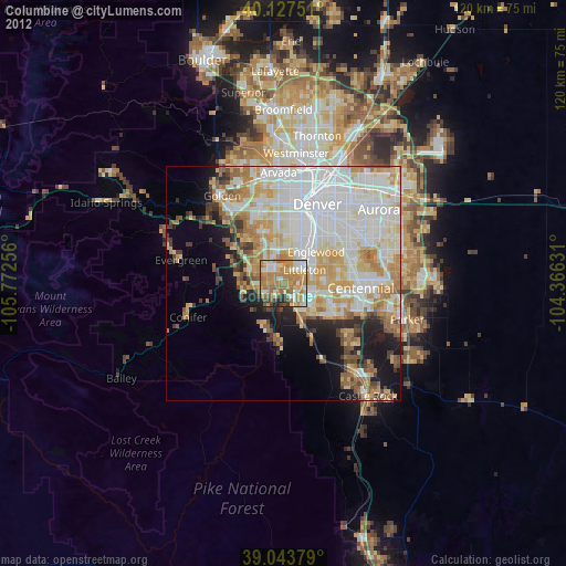
» Earth at Night: Flat Maps 2012, 2016