Portage Park night lights from space
Night Light of Portage Park (Illinois) from space (United States) Src. Average luminocity for 10x10km area is 99.9825% and for 50x50km: 69.037%.
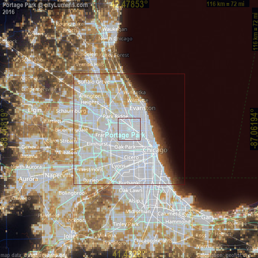
Analysis of Portage Park night lights 2016
Square area 10x10 km:
 98.73%
90-99
1.27%80-89
0%70-79
0%60-69
0%50-59
0%40-49
0%30-39
0%20-29
0%10-19
0%0-9
0%Square area 50x50 km:
37.69%90-99
17.53%80-89
7.77%70-79
4.24%60-69
2.17%50-59
1.68%40-49
1.41%30-39
1.51%20-29
2%10-19
2.91%0-9
21.07%Clear (daylight) street map image can be seen on geolist.org.
Map coordinates:
42° 28' 42.7" North, 88° 28' 5.5" West
41° 57' 28.1" North, 87° 45' 54.2" West
41° 25' 58.1" North, 87° 3' 43" West
Some cities around Portage Park sort by population:
• Belmont Cragin
2.9 km =1.8 mi,  185°
185°
• Irving Park
2.4 km =1.5 mi,  101°
101°
• Albany Park
3.6 km =2.2 mi,  71°
71°
• Avondale
4.9 km =3 mi,  115°
115°
• Elmwood Park
5.5 km =3.4 mi,  221°
221°
• Norridge
5.2 km =3.2 mi,  276°
276°
• Lincolnwood
5.9 km =3.7 mi,  29°
29°
• Harwood Heights
3.7 km =2.3 mi,  286°
286°
4906500 (p: 64,841)
Sources (retrieved 2019-11-25):
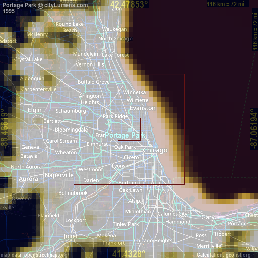
» NASA, Earths city lights 1995
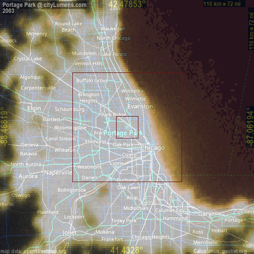
» NASA city lights 2003
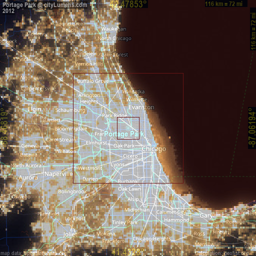
» Earth at Night: Flat Maps 2012, 2016