Albany Park night lights from space
Night Light of Albany Park (Illinois) from space (United States) Src. Average luminocity for 10x10km area is 99.9429% and for 50x50km: 61.9679%.
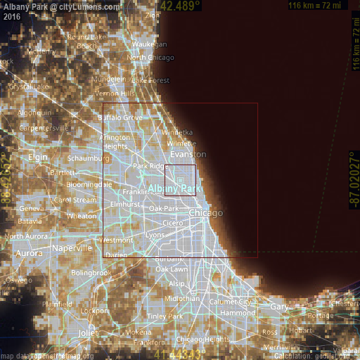
Analysis of Albany Park night lights 2016
Square area 10x10 km:
 95.56%
90-99
4.44%80-89
0%70-79
0%60-69
0%50-59
0%40-49
0%30-39
0%20-29
0%10-19
0%0-9
0%Square area 50x50 km:
34.8%90-99
15.4%80-89
6.32%70-79
3.12%60-69
2.2%50-59
1.58%40-49
1.4%30-39
1.5%20-29
1.98%10-19
2.91%0-9
28.78%Clear (daylight) street map image can be seen on geolist.org.
Map coordinates:
42° 29' 20.4" North, 88° 25' 35.5" West
41° 58' 6.1" North, 87° 43' 24.2" West
41° 26' 36.3" North, 87° 1' 13" West
Some cities around Albany Park sort by population:
• West Ridge
4.3 km =2.7 mi,  35°
35°
• Portage Park
3.6 km =2.2 mi,  251°
251°
• Irving Park
2 km =1.2 mi,  212°
212°
• Edgewater
5.2 km =3.2 mi,  71°
71°
• Lincoln Square
2.9 km =1.8 mi, 73°
• Avondale
3.4 km =2.1 mi,  162°
162°
• North Center
4 km =2.5 mi,  113°
113°
• Lincolnwood
4.1 km =2.5 mi,  352°
352°
4883012 (p: 52,079)
Sources (retrieved 2019-11-25):
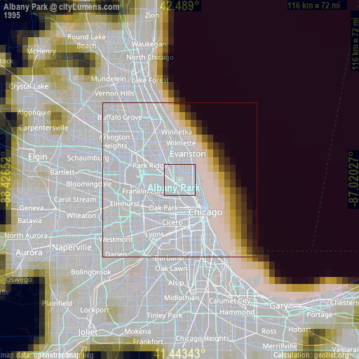
» NASA, Earths city lights 1995
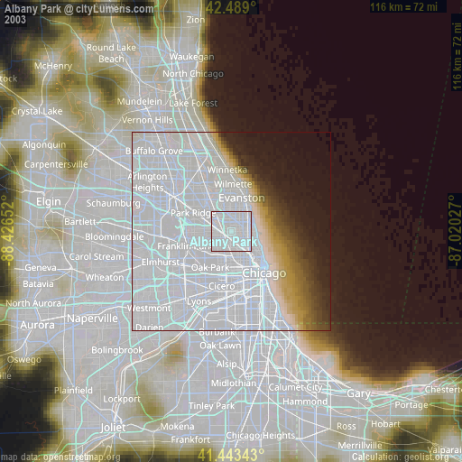
» NASA city lights 2003
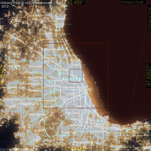
» Earth at Night: Flat Maps 2012, 2016