Avondale night lights from space
Night Light of Avondale (Illinois) from space (United States) Src. Average luminocity for 10x10km area is 99.946% and for 50x50km: 63.1535%.
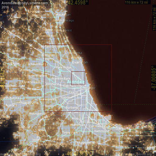
Analysis of Avondale night lights 2016
Square area 10x10 km:
 96.19%
90-99
3.81%80-89
0%70-79
0%60-69
0%50-59
0%40-49
0%30-39
0%20-29
0%10-19
0%0-9
0%Square area 50x50 km:
36.74%90-99
15.08%80-89
6.23%70-79
3.13%60-69
1.55%50-59
1.46%40-49
1.49%30-39
1.54%20-29
2.08%10-19
3.03%0-9
27.67%Clear (daylight) street map image can be seen on geolist.org.
Map coordinates:
42° 27' 35.3" North, 88° 24' 51.5" West
41° 56' 20.1" North, 87° 42' 40.2" West
41° 24' 49.5" North, 87° 0' 29" West
Some cities around Avondale sort by population:
• Belmont Cragin
4.8 km =3 mi,  260°
260°
• Logan Square
2 km =1.2 mi,  150°
150°
• Lincoln Park
5.6 km =3.5 mi,  110°
110°
• Portage Park
4.9 km =3 mi,  295°
295°
• Irving Park
2.6 km =1.6 mi,  307°
307°
• Albany Park
3.4 km =2.1 mi,  342°
342°
• Lincoln Square
4.5 km =2.8 mi,  23°
23°
• North Center
3.1 km =1.9 mi,  57°
57°
4883904 (p: 39,721)
Sources (retrieved 2019-11-25):
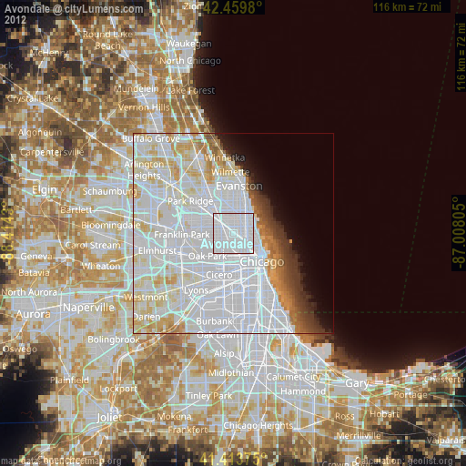
» Earth at Night: Flat Maps 2012, 2016