Vernon Hills night lights from space
Night Light of Vernon Hills (Illinois) from space (United States) Src. Average luminocity for 10x10km area is 76.8652% and for 50x50km: 61.5122%.
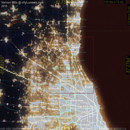
Analysis of Vernon Hills night lights 2016
Square area 10x10 km:
 18.03%
90-99
18.64%80-89
7.42%70-79
11.52%60-69
20.3%50-59
20.91%40-49
3.18%30-39
0%20-29
0%10-19
0%0-9
0%Square area 50x50 km:
13.67%90-99
13.48%80-89
8.59%70-79
8.57%60-69
11.71%50-59
11.41%40-49
8.45%30-39
4.74%20-29
5.41%10-19
3.05%0-9
10.91%Clear (daylight) street map image can be seen on geolist.org.
Map coordinates:
42° 44' 16.9" North, 88° 40' 57.5" West
42° 13' 10.1" North, 87° 58' 46.3" West
41° 41' 47.8" North, 87° 16' 35" West
Some cities around Vernon Hills sort by population:
• Buffalo Grove
7.7 km =4.8 mi,  167°
167°
• Mundelein
5.3 km =3.3 mi,  337°
337°
• Libertyville
7.4 km =4.6 mi,  17°
17°
• Lake Zurich
9.7 km =6 mi,  255°
255°
• Long Grove
4.8 km =3 mi,  198°
198°
• Hawthorn Woods
5.8 km =3.6 mi,  267°
267°
• Lincolnshire
6.7 km =4.2 mi,  119°
119°
• Fairfield
6.7 km =4.2 mi, 269°
4914738 (p: 26,314)
Sources (retrieved 2019-11-25):
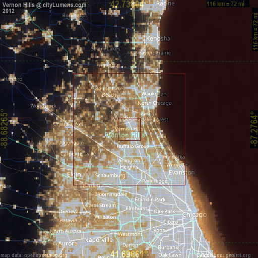
» Earth at Night: Flat Maps 2012, 2016