Mundelein night lights from space
Night Light of Mundelein (Illinois) from space (United States) Src. Average luminocity for 10x10km area is 72.5758% and for 50x50km: 57.2811%.
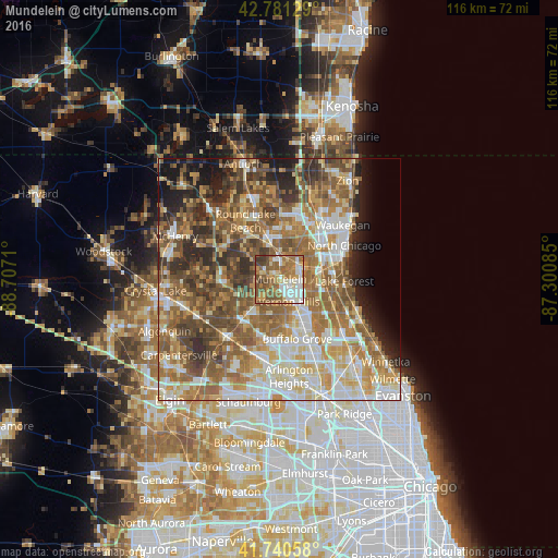
Analysis of Mundelein night lights 2016
Square area 10x10 km:
 14.7%
14.7%90-99
14.39%80-89
7.12%70-79
13.48%60-69
19.7%50-59
17.88%40-49
8.94%30-39
3.79%20-29
0%10-19
0%0-9
0%Square area 50x50 km:
9.4%90-99
10.72%80-89
8.42%70-79
8.62%60-69
12.33%50-59
12.65%40-49
9.84%30-39
5.97%20-29
6.74%10-19
5.84%0-9
9.47%Clear (daylight) street map image can be seen on geolist.org.
Map coordinates:
42° 46' 52.6" North, 88° 42' 25.6" West
42° 15' 47.1" North, 88° 0' 14.3" West
41° 44' 26.1" North, 87° 18' 3.1" West
Some cities around Mundelein sort by population:
• Vernon Hills
5.3 km =3.3 mi,  157°
157°
• Grayslake
9.6 km =6 mi,  341°
341°
• Libertyville
4.7 km =2.9 mi,  62°
62°
• Lake Zurich
10.4 km =6.5 mi,  225°
225°
• Gages Lake
10 km =6.2 mi,  10°
10°
• Long Grove
9.4 km =5.8 mi,  176°
176°
• Hawthorn Woods
6.4 km =4 mi,  216°
216°
• Fairfield
6.8 km =4.2 mi, 224°
4903184 (p: 31,582)
Sources (retrieved 2019-11-25):
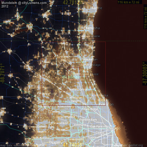
» Earth at Night: Flat Maps 2012, 2016