Kansas City night lights from space
Night Light of Kansas City (Missouri) from space (United States) Src. Average luminocity for 10x10km area is 99.3506% and for 50x50km: 67.315%.
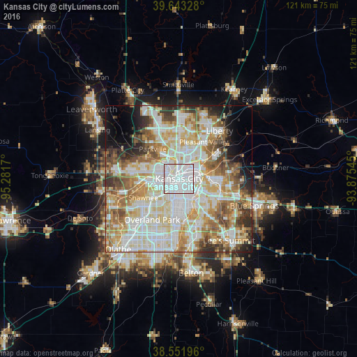
Analysis of Kansas City night lights 2016
Square area 10x10 km:
 75.49%
90-99
23.21%80-89
0.97%70-79
0.32%60-69
0%50-59
0%40-49
0%30-39
0%20-29
0%10-19
0%0-9
0%Square area 50x50 km:
19.91%90-99
18.52%80-89
9.85%70-79
7.61%60-69
8.44%50-59
7.15%40-49
5.24%30-39
5.15%20-29
4.2%10-19
5.1%0-9
8.85%Clear (daylight) street map image can be seen on geolist.org.
Map coordinates:
39° 38' 35.8" North, 95° 16' 54.1" West
39° 5' 59" North, 94° 34' 42.9" West
38° 33' 7.1" North, 93° 52' 31.6" West
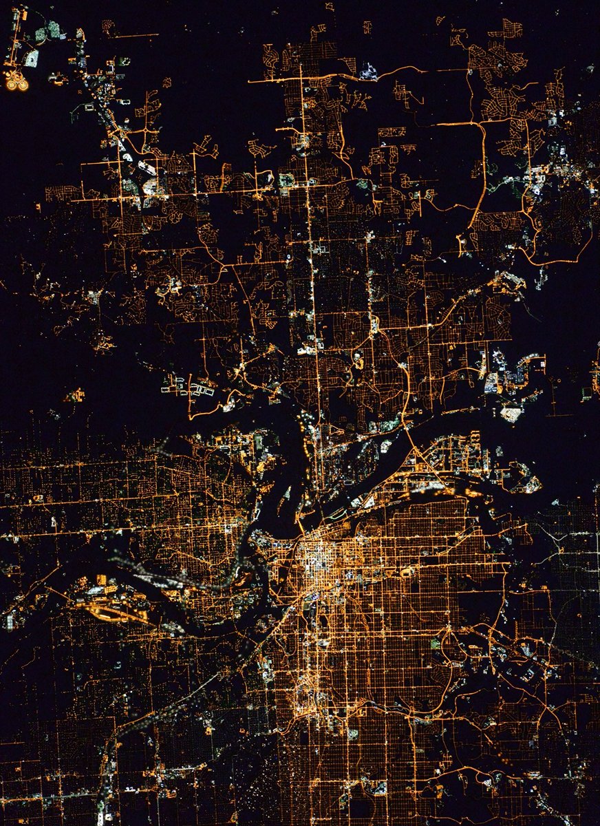
Fantastic image of Kansas City from space taken by astronauts [src2], but I don't have information about it's orientation, scale or angle. If necessary, it was rotated manually, so North points approximately to upper direction. Click to zoom in:
Some cities around Kansas City sort by population:
• Independence
14.1 km =8.8 mi,  93°
93°
• Shawnee
13.8 km =8.6 mi,  242°
242°
• Gladstone
11.8 km =7.3 mi,  10°
10°
• Prairie Village
12.9 km =8 mi,  201°
201°
• Merriam
13 km =8.1 mi,  229°
229°
• Mission
10.4 km =6.5 mi,  219°
219°
• Roeland Park
8.3 km =5.2 mi,  213°
213°
• Parkville
13.9 km =8.6 mi,  319°
319°
4393217 (p: 475,378)
Sources (retrieved 2019-11-25):
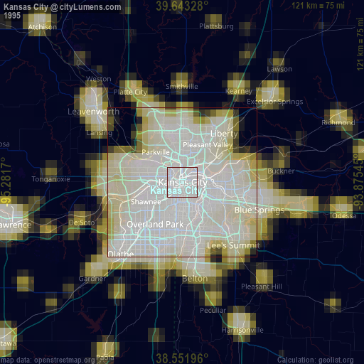
» NASA, Earths city lights 1995
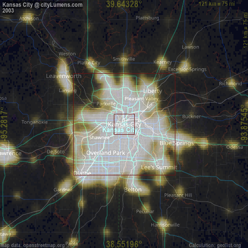
» NASA city lights 2003
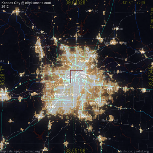
» Earth at Night: Flat Maps 2012, 2016
Src.2: Tim Kopra, Twitter/@astro_tim, 2016-03-28