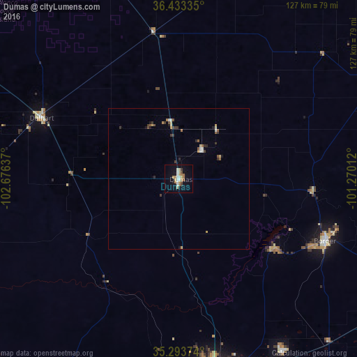
Dumas night lights from space
Night Light of Dumas (Texas) from space (United States) Src. Average luminocity for 10x10km area is 21.0227% and for 50x50km: 2.0253%.
Analysis of Dumas night lights 2016
Square area 10x10 km:
 2.62%
2.62%90-99
3.67%80-89
4.02%70-79
2.97%60-69
3.5%50-59
0.87%40-49
1.57%30-39
1.05%20-29
0.7%10-19
15.21%0-9
63.81%Square area 50x50 km:
0.18%90-99
0.28%80-89
0.32%70-79
0.26%60-69
0.24%50-59
0.3%40-49
0.18%30-39
0.36%20-29
0.2%10-19
0.77%0-9
96.91%Clear (daylight) street map image can be seen on geolist.org.
Map coordinates:
36° 26' 0.1" North, 102° 40' 34.9" West
35° 51' 56.1" North, 101° 58' 23.7" West
35° 17' 37.5" North, 101° 16' 12.4" West
Some cities around Dumas sort by population:
• Amarillo
72.7 km =45.2 mi,  169°
169°
• Pampa
98.6 km =61.3 mi,  111°
111°
• Hereford
123 km =76.4 mi,  198°
198°
• Canyon
98.6 km =61.3 mi,  177°
177°
• Borger
56.4 km =35 mi, 112°
• Guymon
101 km =62.8 mi,  25°
25°
• Perryton
120.8 km =75.1 mi,  60°
60°
• Dalhart
53.2 km =33.1 mi,  293°
293°
5520552 (p: 15,001)
Sources (retrieved 2019-11-25):
» Earth at Night: Flat Maps 2012, 2016