Woodward night lights from space
Night Light of Woodward (Oklahoma) from space (United States) Src. Average luminocity for 10x10km area is 34.3636% and for 50x50km: 2.6455%.
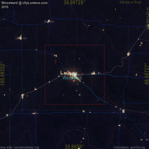
Analysis of Woodward night lights 2016
Square area 10x10 km:
 4.55%
4.55%90-99
6.12%80-89
4.2%70-79
3.5%60-69
3.5%50-59
6.64%40-49
2.62%30-39
8.92%20-29
4.02%10-19
39.69%0-9
16.26%Square area 50x50 km:
0.19%90-99
0.26%80-89
0.52%70-79
0.32%60-69
0.36%50-59
0.35%40-49
0.19%30-39
0.66%20-29
0.39%10-19
2.42%0-9
94.35%Clear (daylight) street map image can be seen on geolist.org.
Map coordinates:
36° 59' 50.2" North, 100° 5' 36.7" West
36° 26' 1.1" North, 99° 23' 25.4" West
35° 51' 57.2" North, 98° 41' 14.2" West
Some cities around Woodward sort by population:
• Enid
135.4 km =84.1 mi,  91°
91°
• Liberal
152.3 km =94.6 mi,  296°
296°
• Elk City
113.6 km =70.6 mi,  180°
180°
• Weatherford
118.1 km =73.4 mi,  148°
148°
• Clinton
108.9 km =67.7 mi,  159°
159°
• Perryton
126.4 km =78.5 mi,  268°
268°
• Pratt
146.5 km =91 mi,  23°
23°
• Alva
76.6 km =47.6 mi,  57°
57°
4556050 (p: 12,993)
Sources (retrieved 2019-11-25):
» Earth at Night: Flat Maps 2012, 2016