Havre night lights from space
Night Light of Havre (Montana) from space (United States) Src. Average luminocity for 10x10km area is 19.2188% and for 50x50km: 0.7836%.
Analysis of Havre night lights 2016
Square area 10x10 km:
 2.08%
2.08%90-99
5.65%80-89
1.34%70-79
1.93%60-69
2.98%50-59
1.93%40-49
1.79%30-39
0.15%20-29
0.74%10-19
17.11%0-9
64.29%Square area 50x50 km:
0.08%90-99
0.22%80-89
0.05%70-79
0.07%60-69
0.11%50-59
0.07%40-49
0.07%30-39
0.01%20-29
0.05%10-19
0.66%0-9
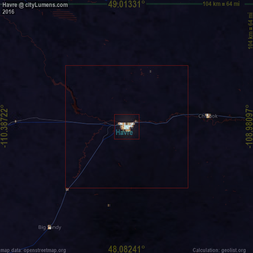
98.61%Clear (daylight) street map image can be seen on geolist.org.
Map coordinates:
49° 0' 47.9" North, 110° 23' 14" West
48° 33' 0" North, 109° 41' 2.7" West
48° 4' 56.7" North, 108° 58' 51.5" West
Some cities around Havre sort by population:
• Lethbridge, CA
261.4 km =162.4 mi,  299°
299°
• Medicine Hat, CA
180.6 km =112.2 mi,  336°
336°
• Great Falls
167.6 km =104.1 mi,  225°
225°
• Swift Current, CA
236 km =146.6 mi,  35°
35°
• Helena Valley Southeast
272.8 km =169.5 mi,  217°
217°
• Taber, CA
225.7 km =140.2 mi,  307°
307°
• Coaldale, CA
249.8 km =155.2 mi, 301°
• Lewistown
166.5 km =103.5 mi,  173°
173°
5656497 (p: 9,834)
Sources (retrieved 2019-11-25):
» Earth at Night: Flat Maps 2012, 2016